Webcams in der Region Copic, California, USA
Die Liste der Webcams in der Region Copic, California, USA:

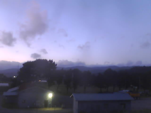
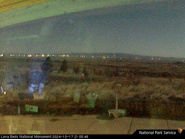
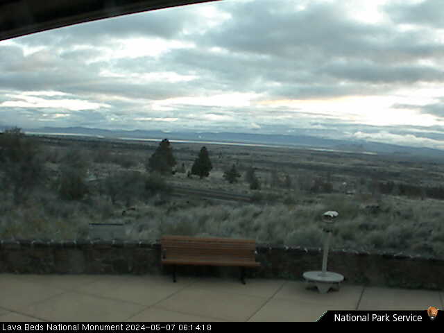
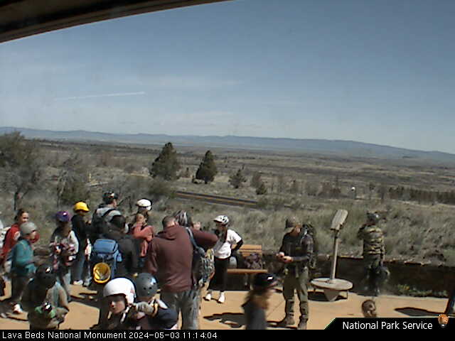
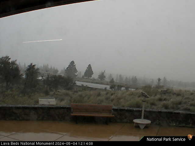
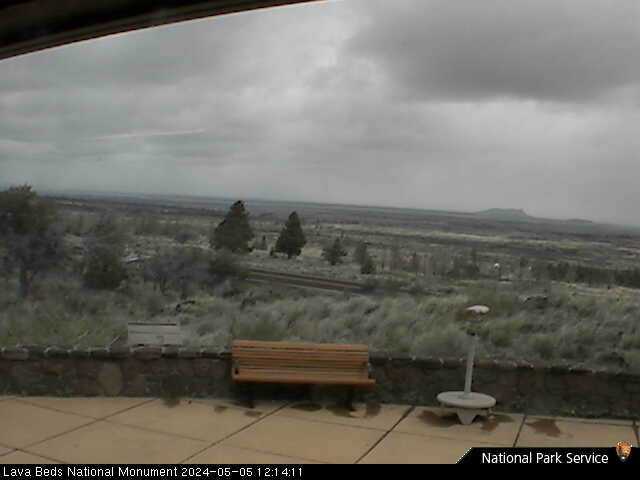
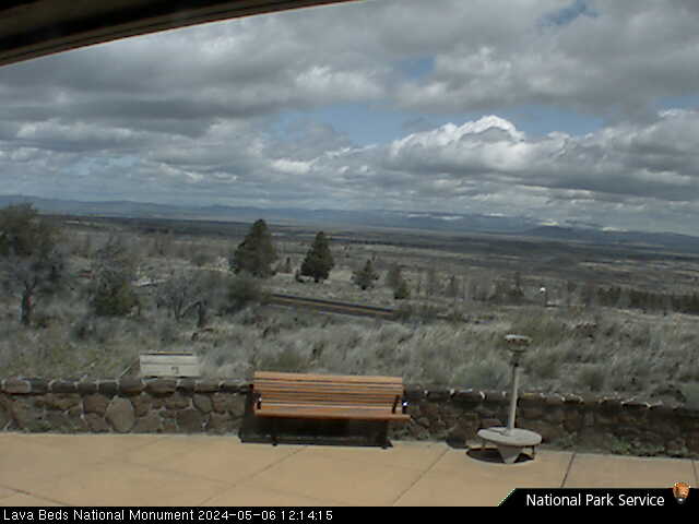
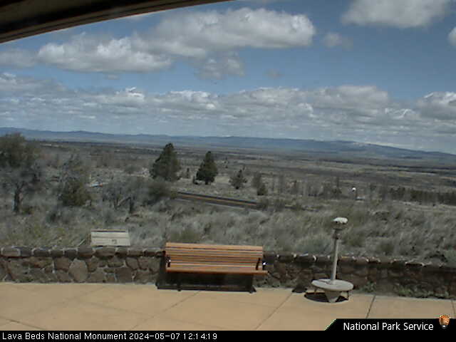
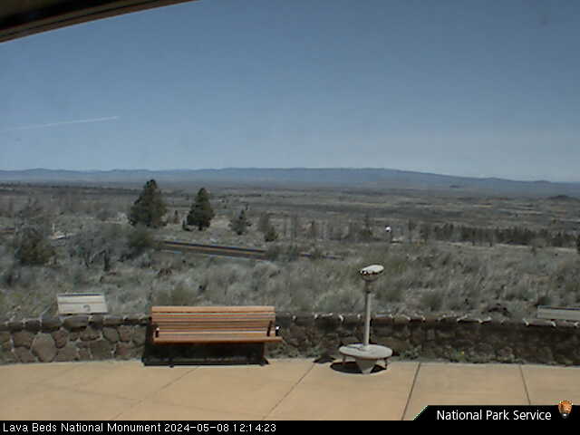
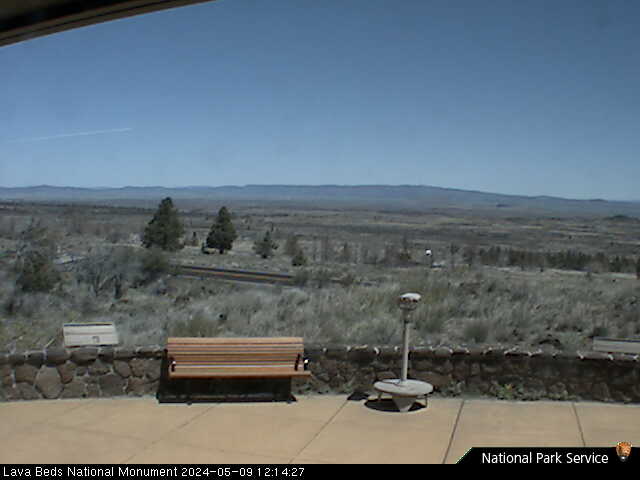
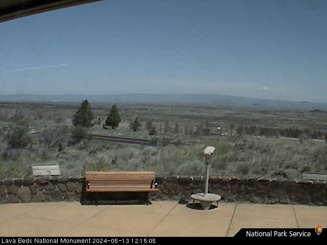
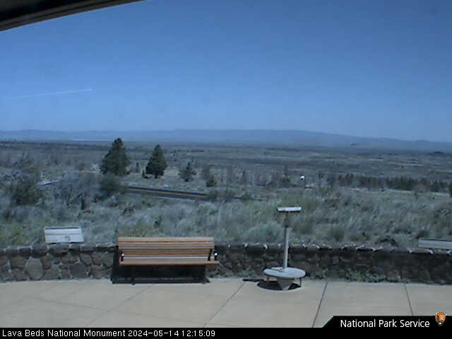
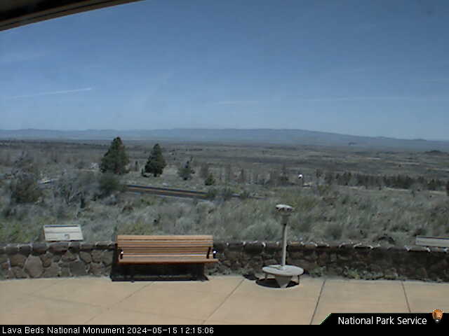
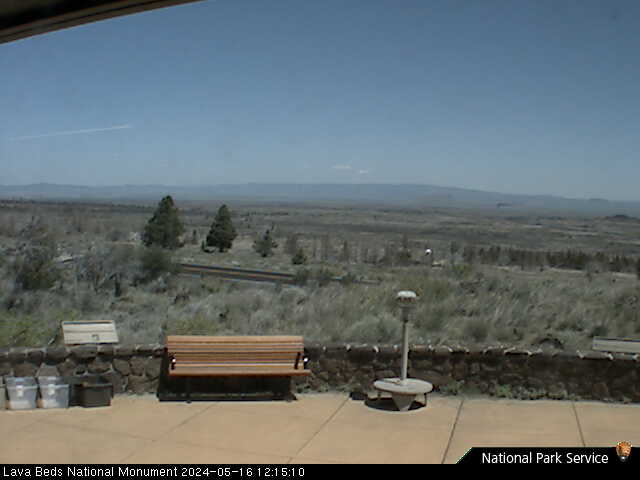
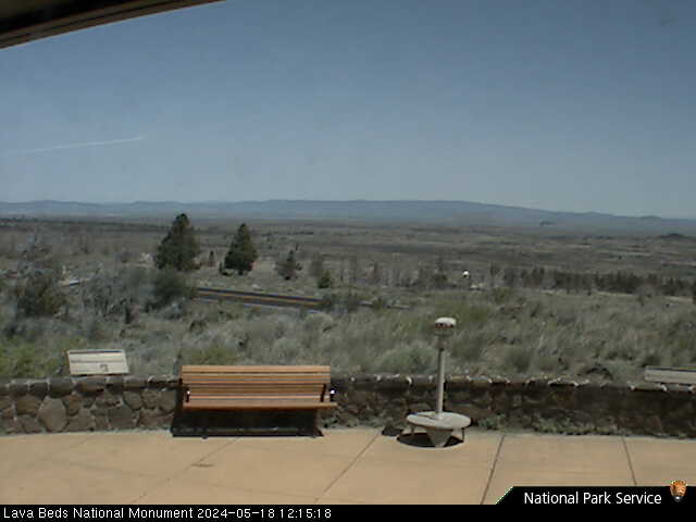
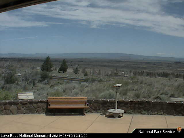
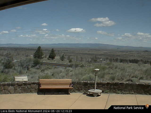
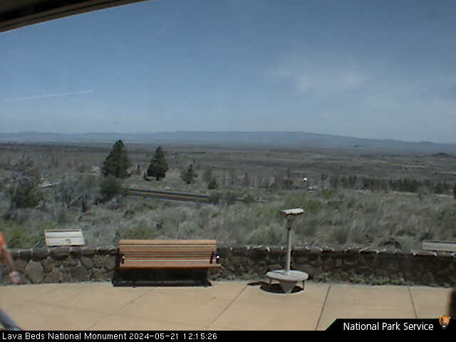
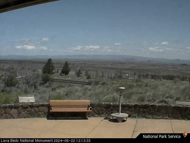
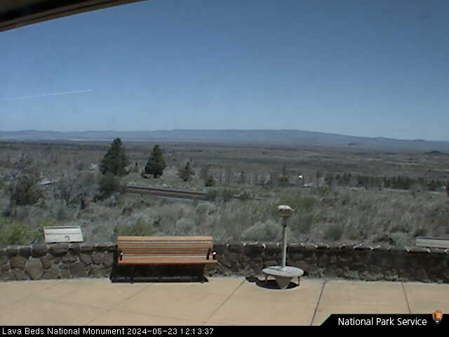
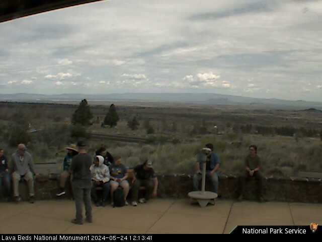
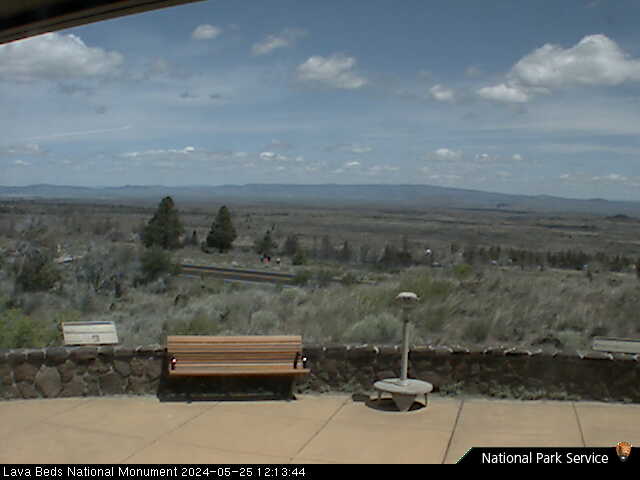
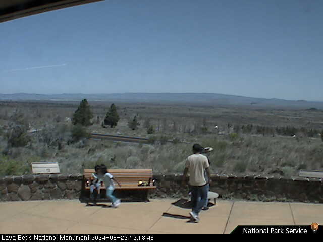
Lava Beds National Monument, California, USA - 20.3 km von Copic: Lava Beds Visitor Center - Ein Blick Richtung Norden vom Lava Beds National Monument Visitor Center.
Operator: U.S. National Park Service
Operator: U.S. National Park Service


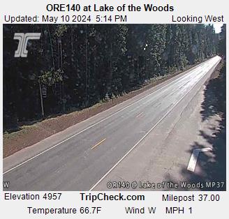
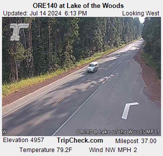
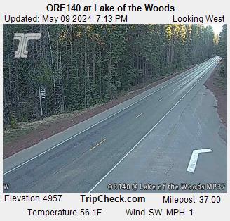
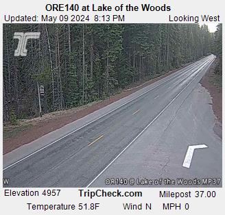
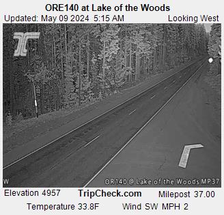
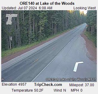
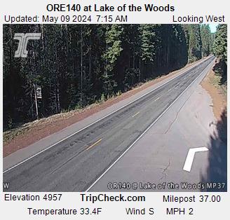
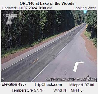
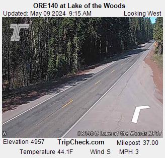
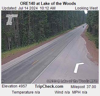
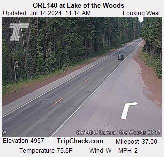
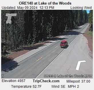
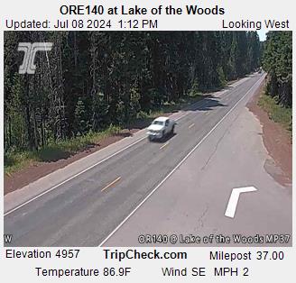
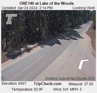
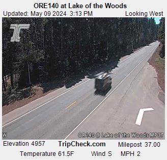
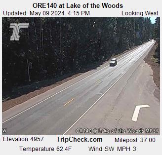
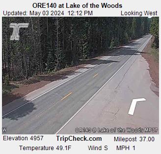
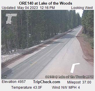
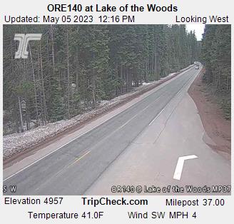
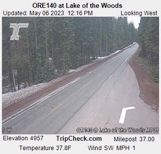
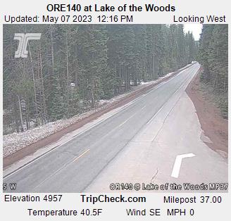
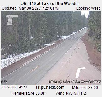
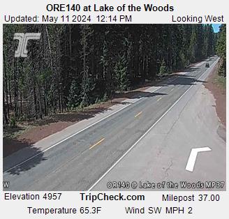
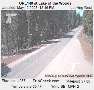
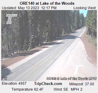
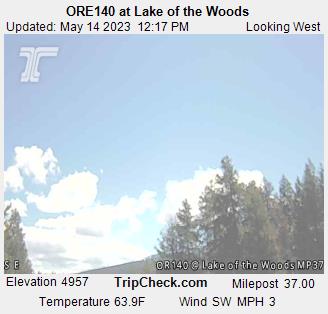
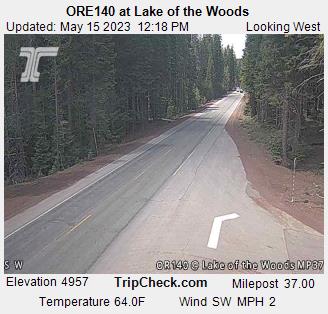
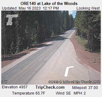
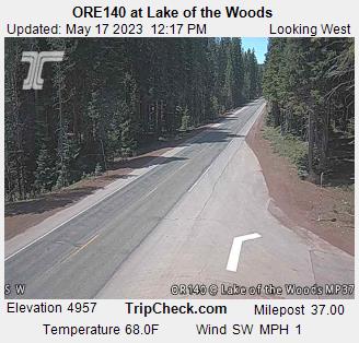
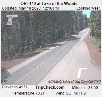
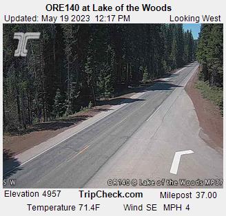
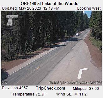
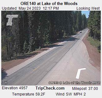
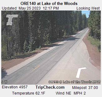
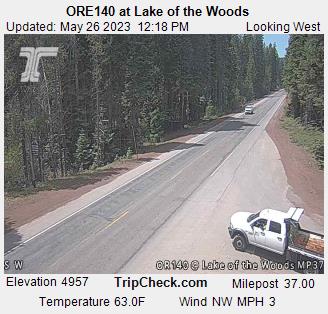
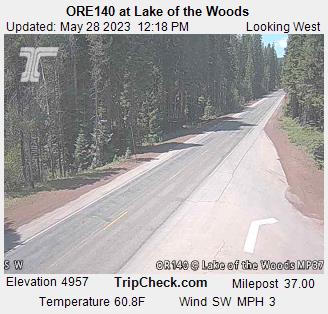
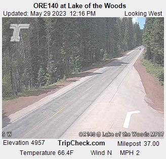
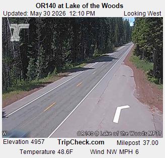
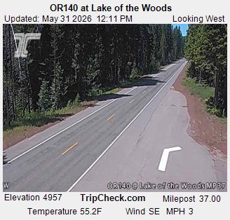
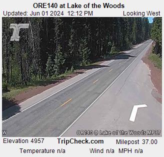
Lake of the Woods, Oregon, USA - 91.7 km von Copic: ORE140 at Lake of the Woods - Ein Blick auf die aktuelle Verkehrssituation auf der ORE140.
Operator: Oregon Department of Transportation
Operator: Oregon Department of Transportation


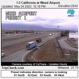
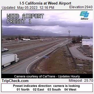
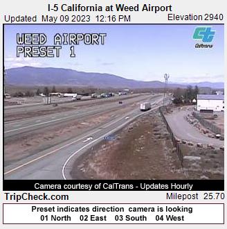
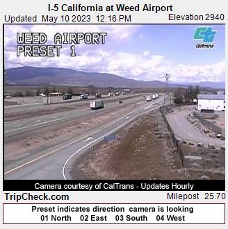
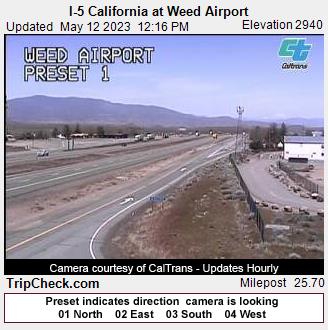
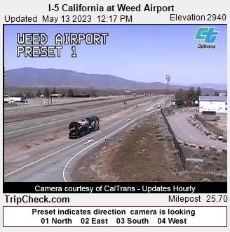
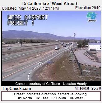
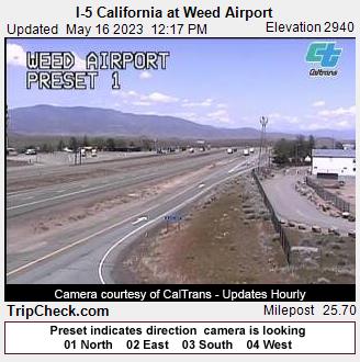
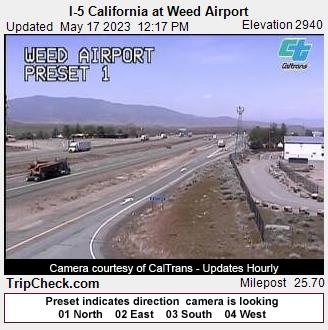
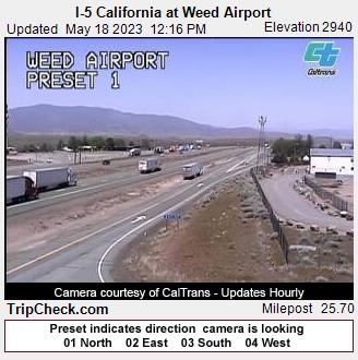
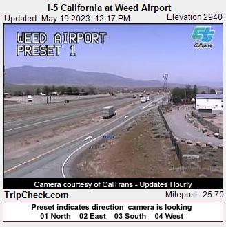
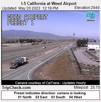
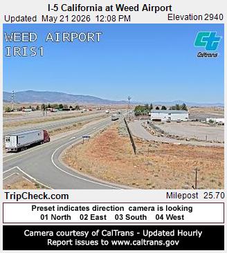
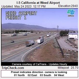
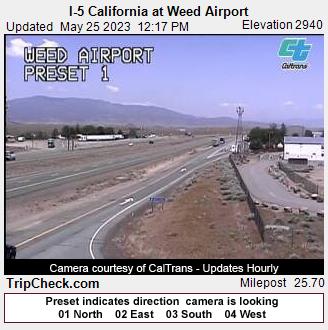
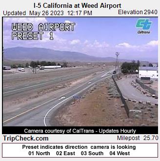
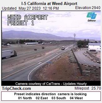
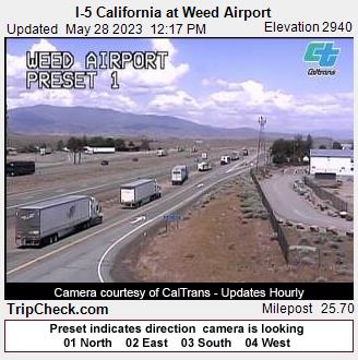
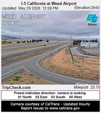
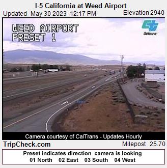
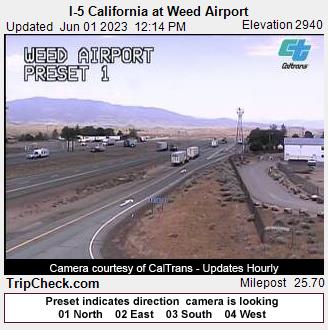
Weed, California, USA - 99.8 km von Copic: I-5 California at Weed Airport - Ein Blick auf die aktuelle Verkehrssituation auf der I-5.
Operator: Oregon Department of Transportation
Operator: Oregon Department of Transportation


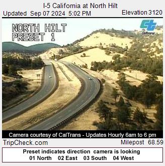
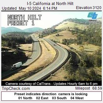
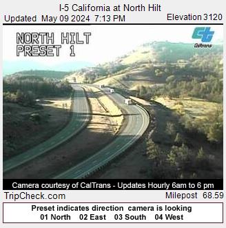
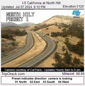
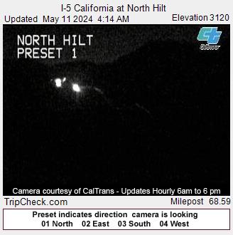
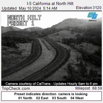
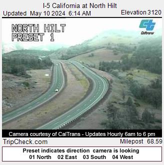
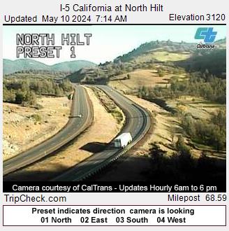
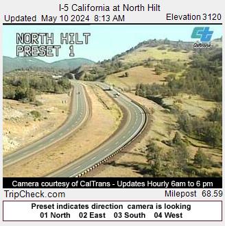
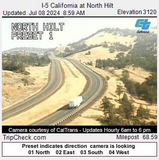
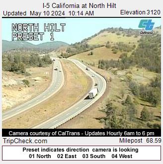
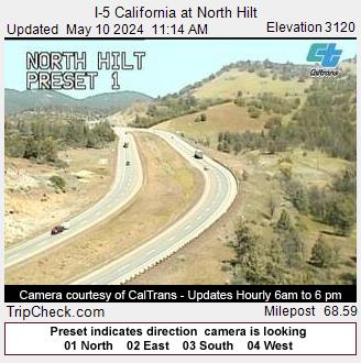
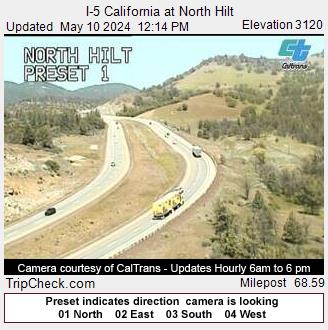
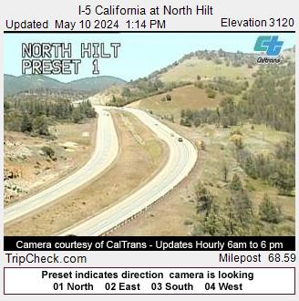
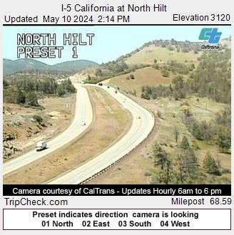
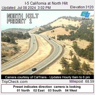
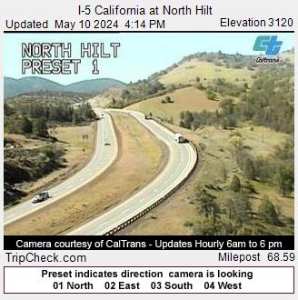
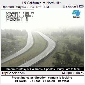
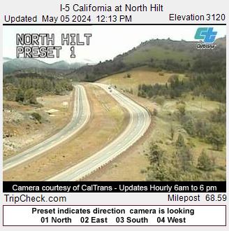
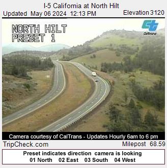
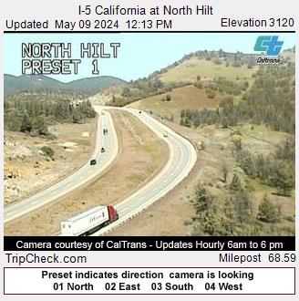
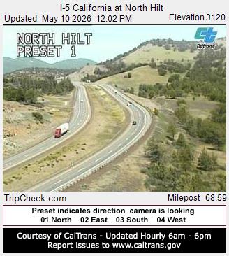
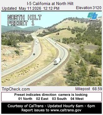
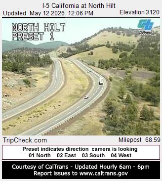
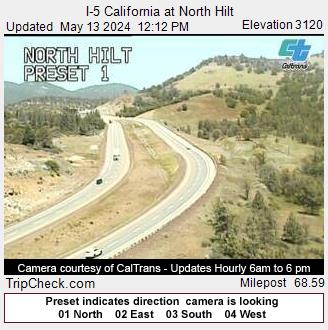
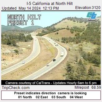
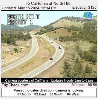
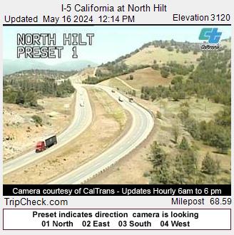
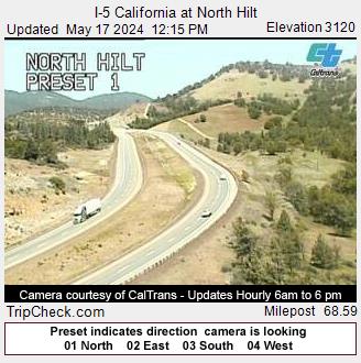
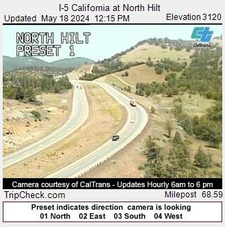
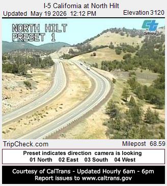
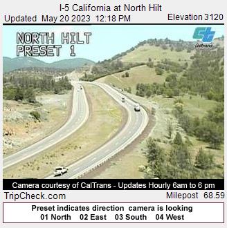
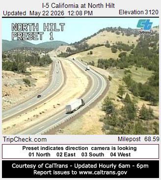
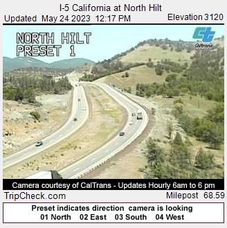
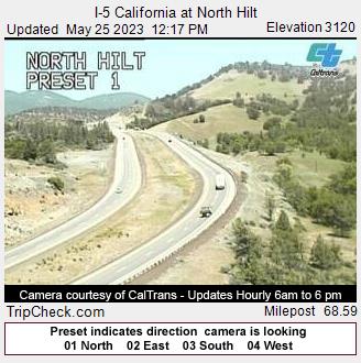
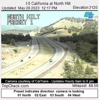
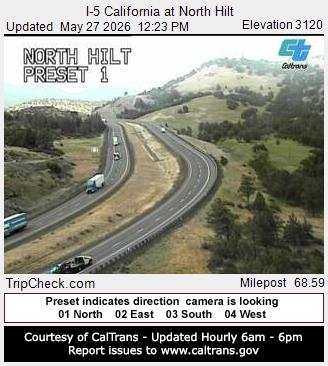
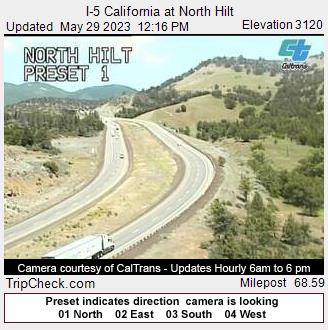
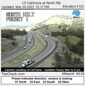
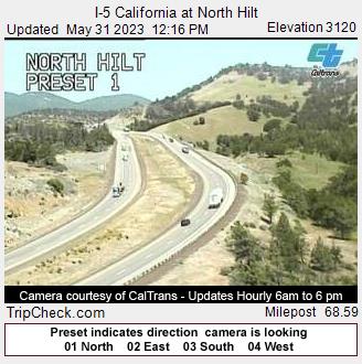
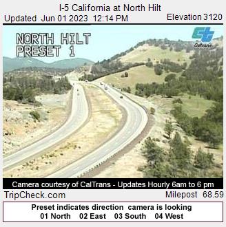
Hilt, California, USA - 107 km von Copic: I-5 California at North Hilt - Ein Blick auf die aktuelle Verkehrssituation auf der I-5.
Operator: Oregon Department of Transportation
Operator: Oregon Department of Transportation


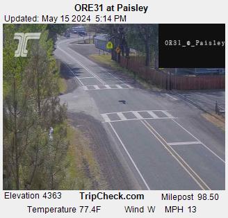
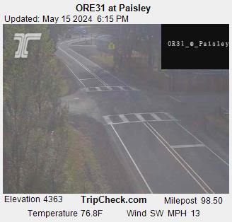
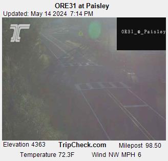
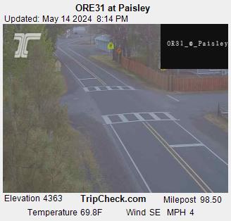
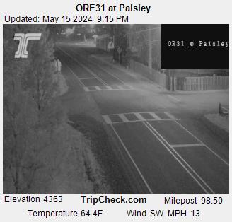
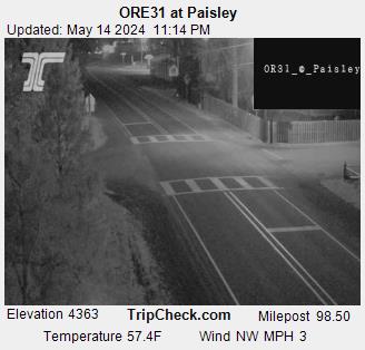
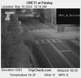
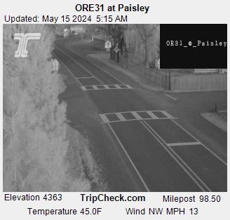
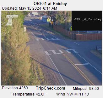
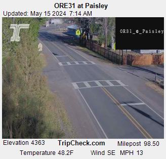
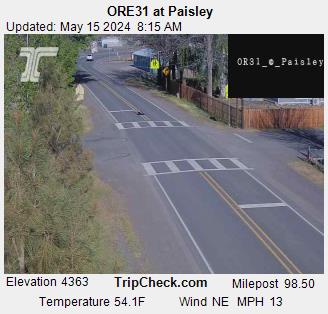
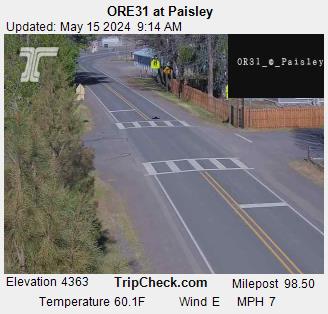
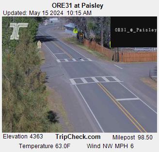
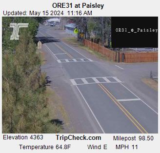
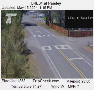
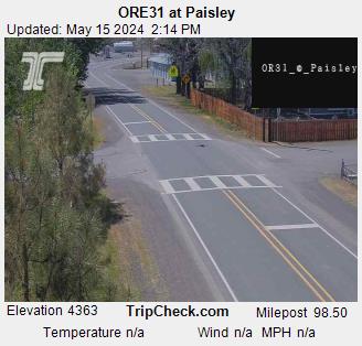
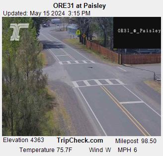
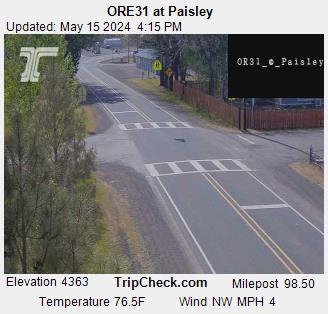
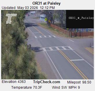
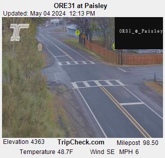
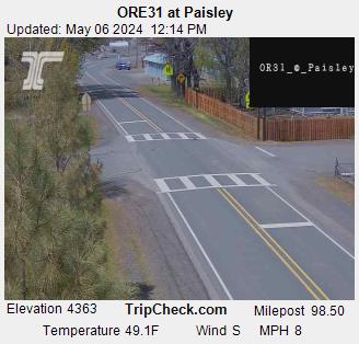
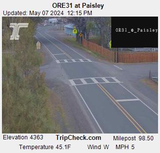
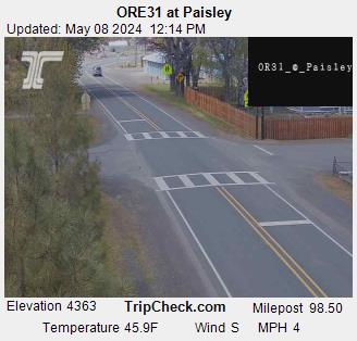
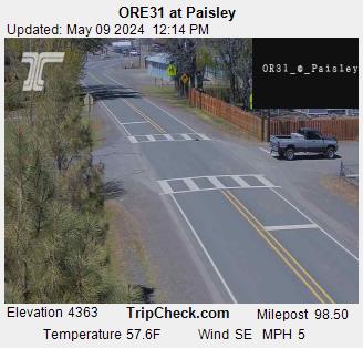
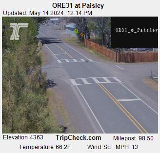
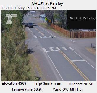
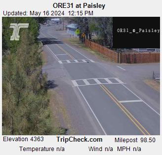
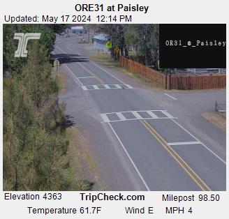
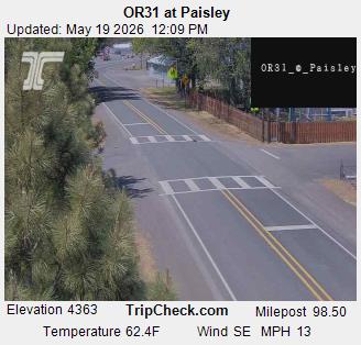
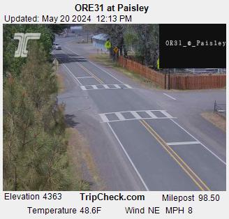
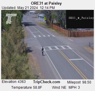
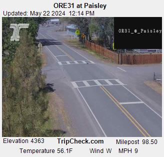
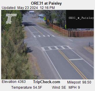
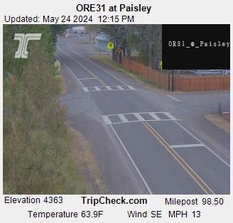
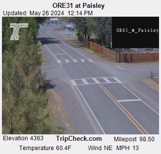
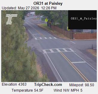
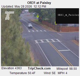
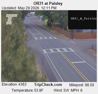
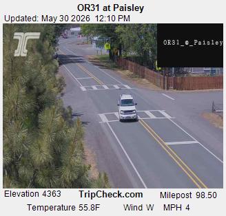
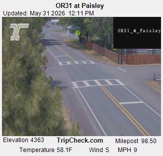
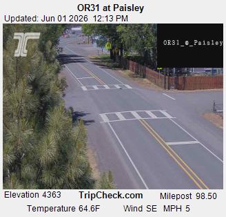
Paisley, Oregon, USA - 113 km von Copic: ORE31 at Paisley - Ein Blick auf die aktuelle Verkehrssituation auf der ORE31.
Operator: Oregon Department of Transportation
Operator: Oregon Department of Transportation


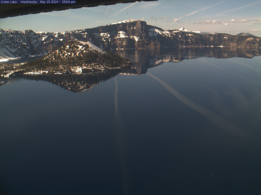
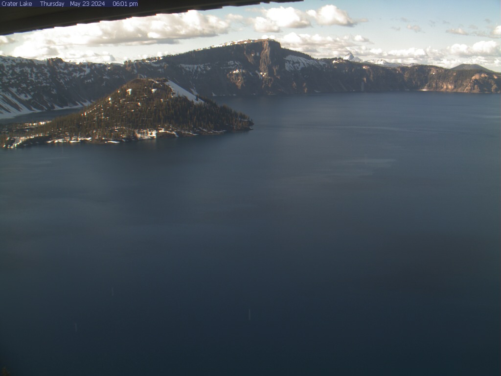
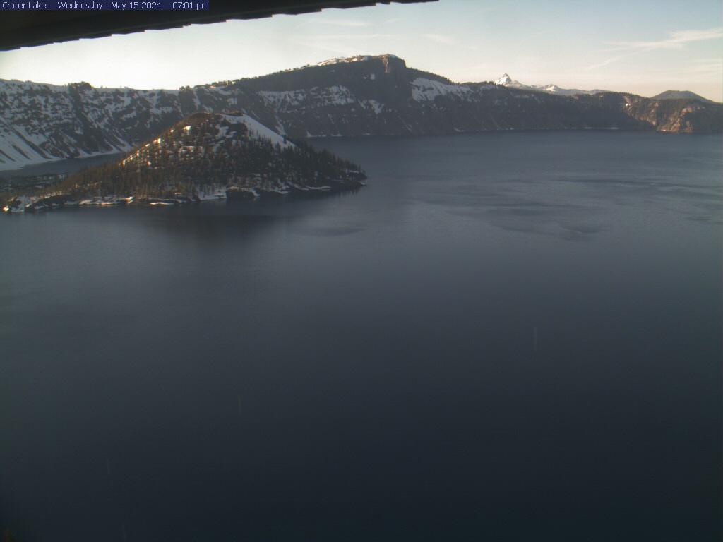
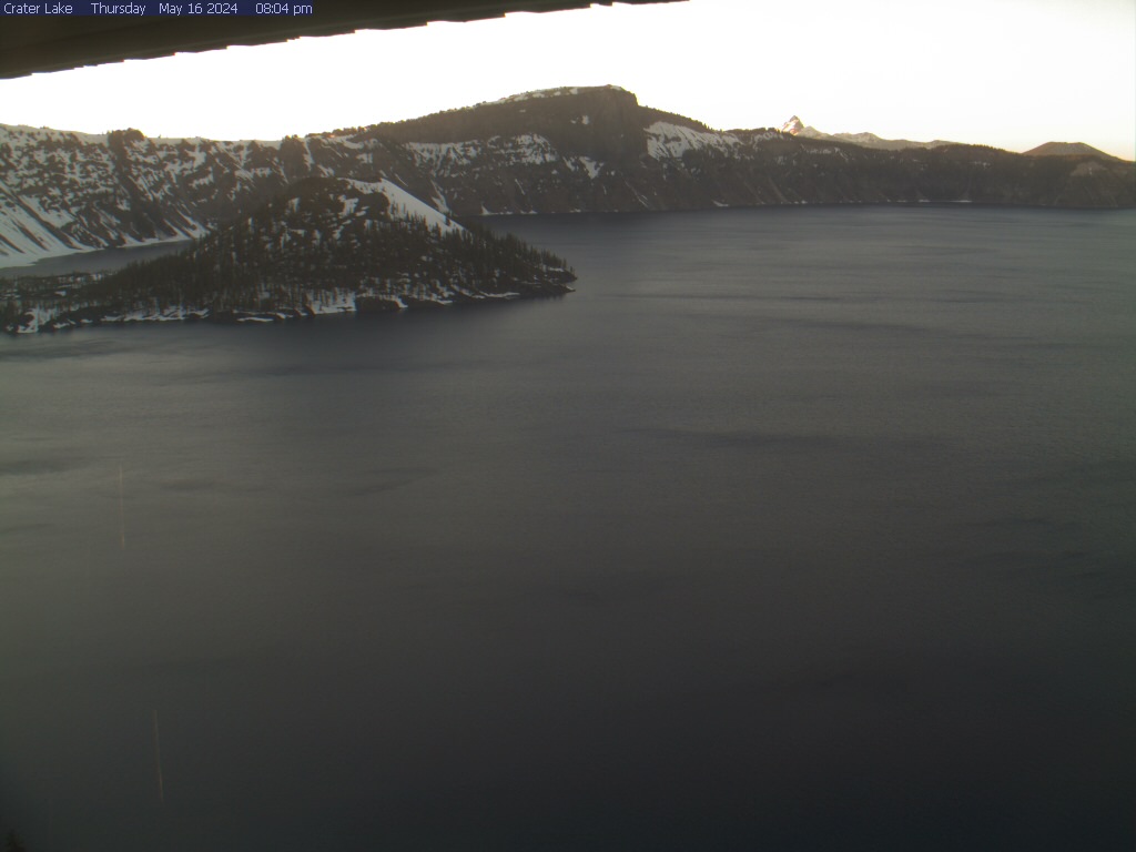
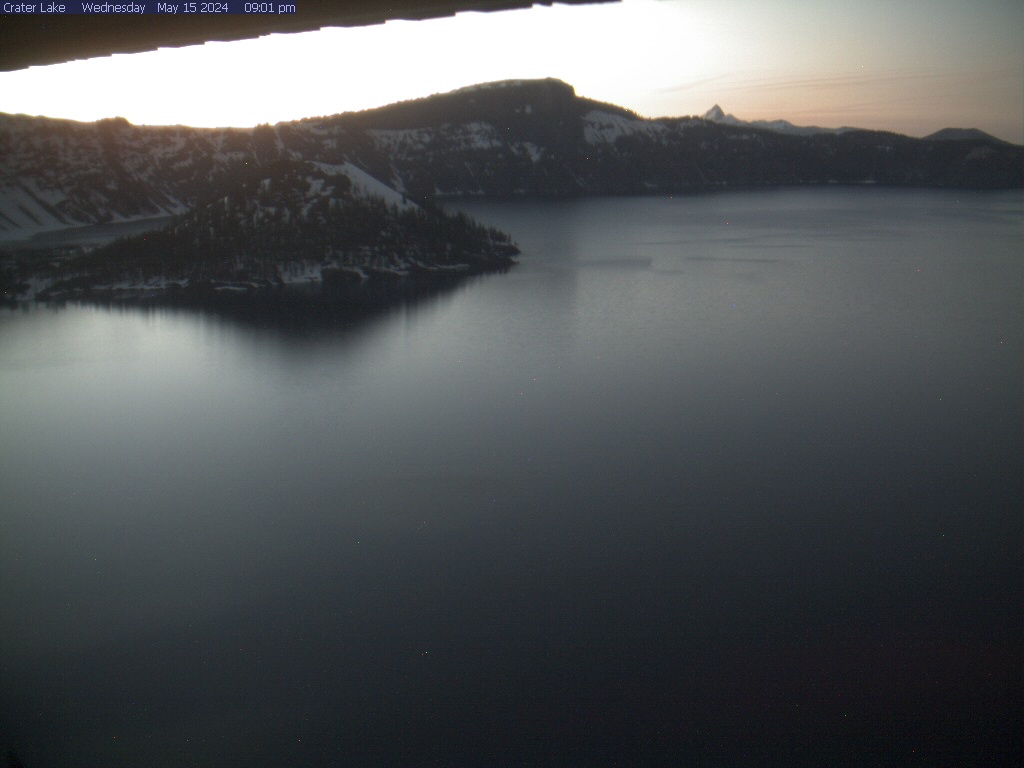
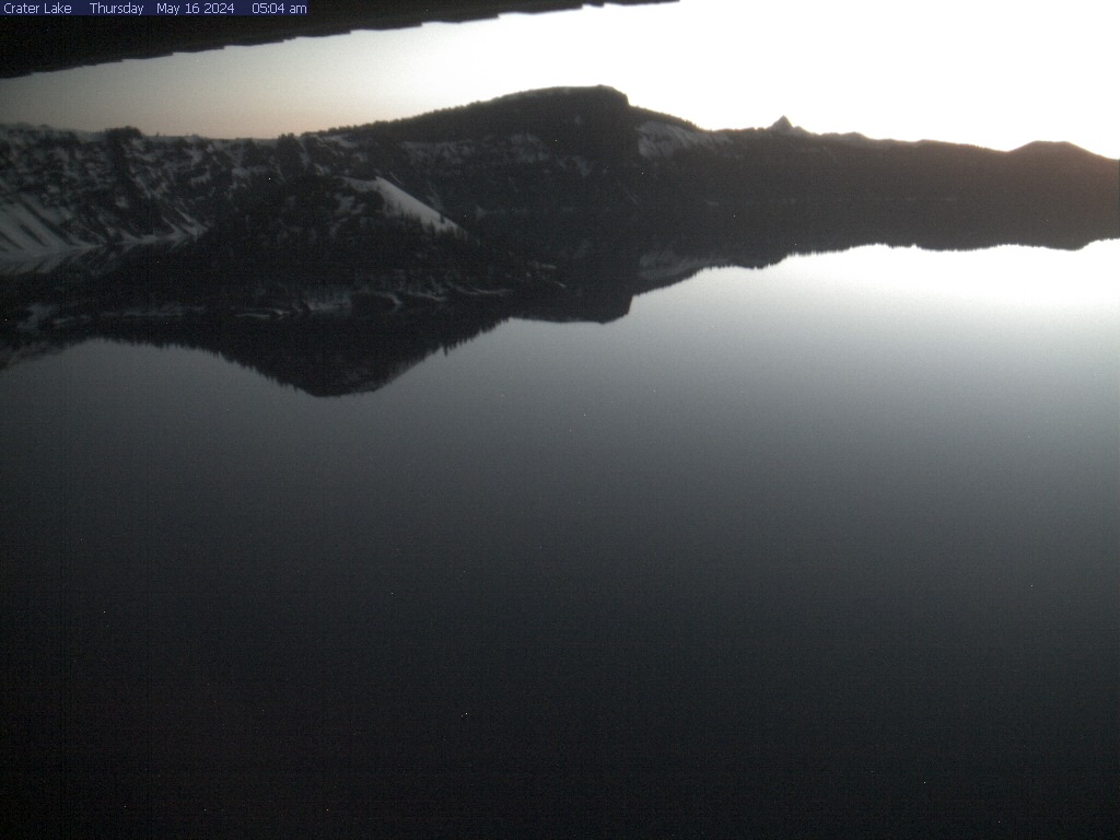
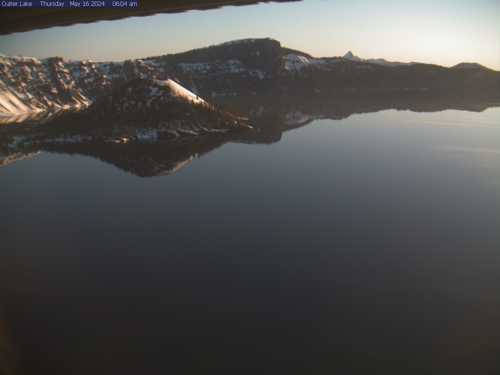
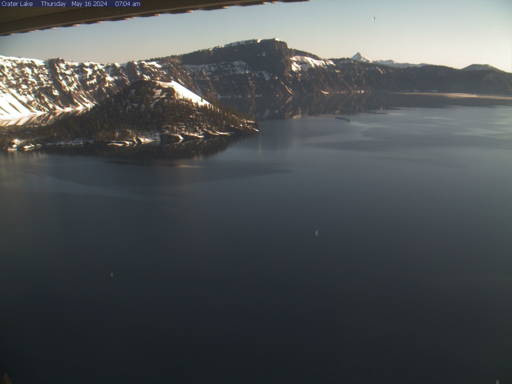
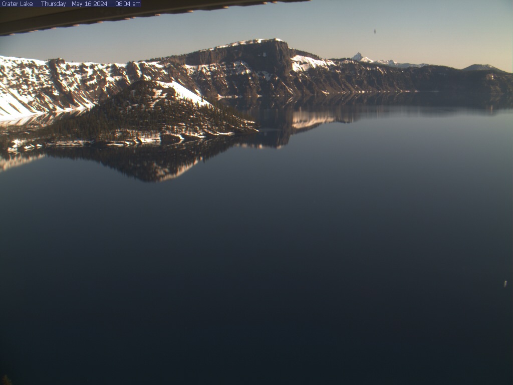
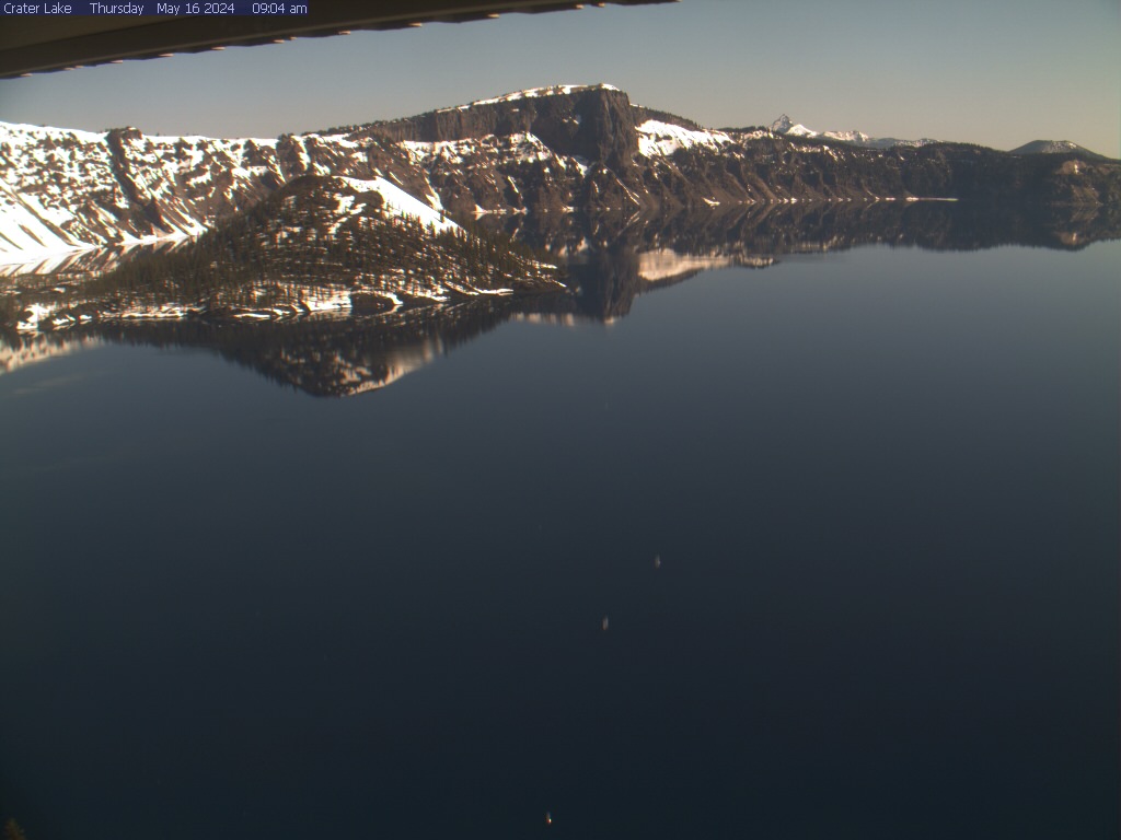
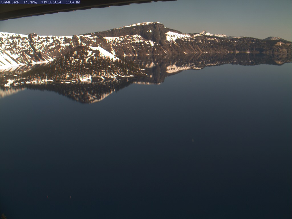
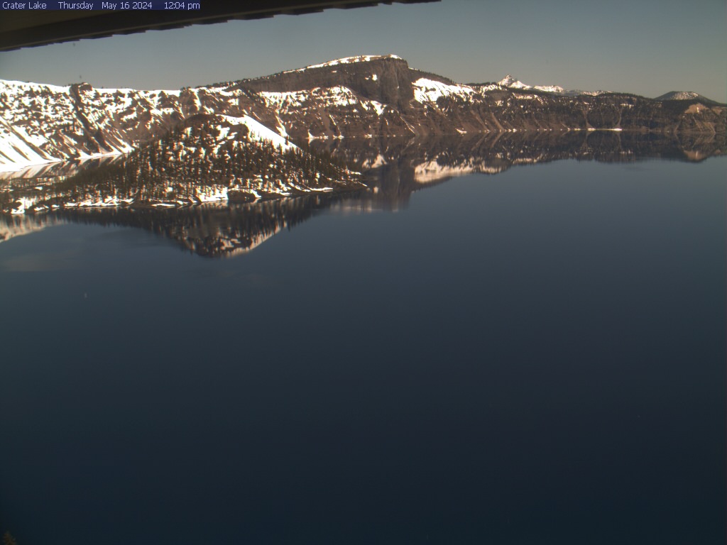
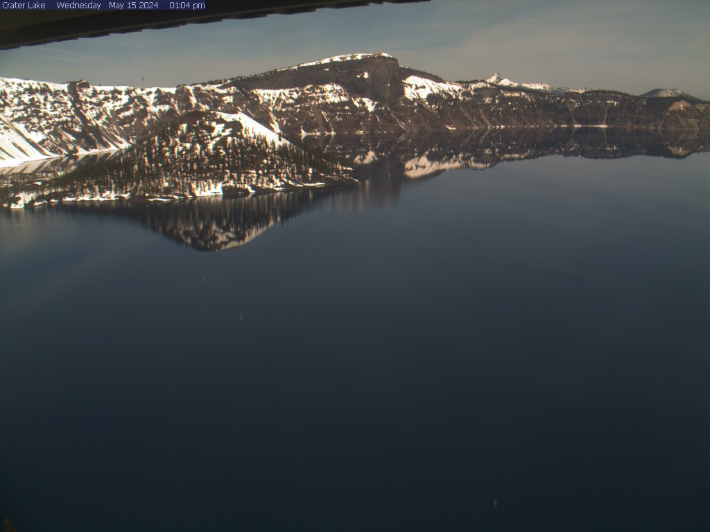
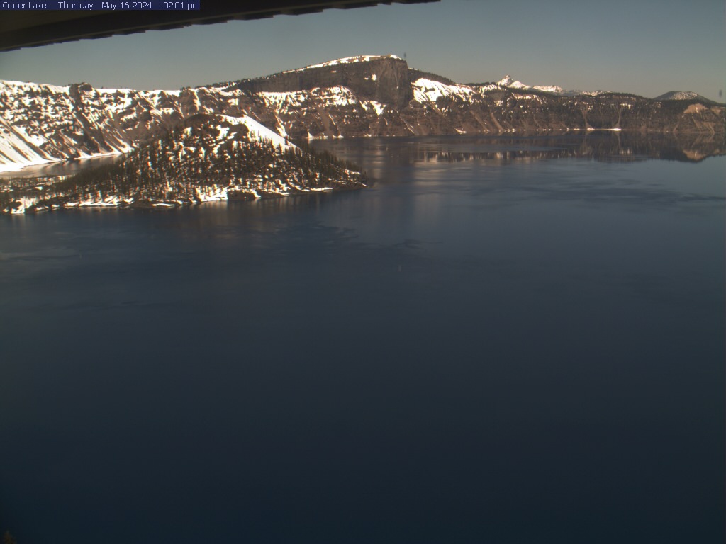
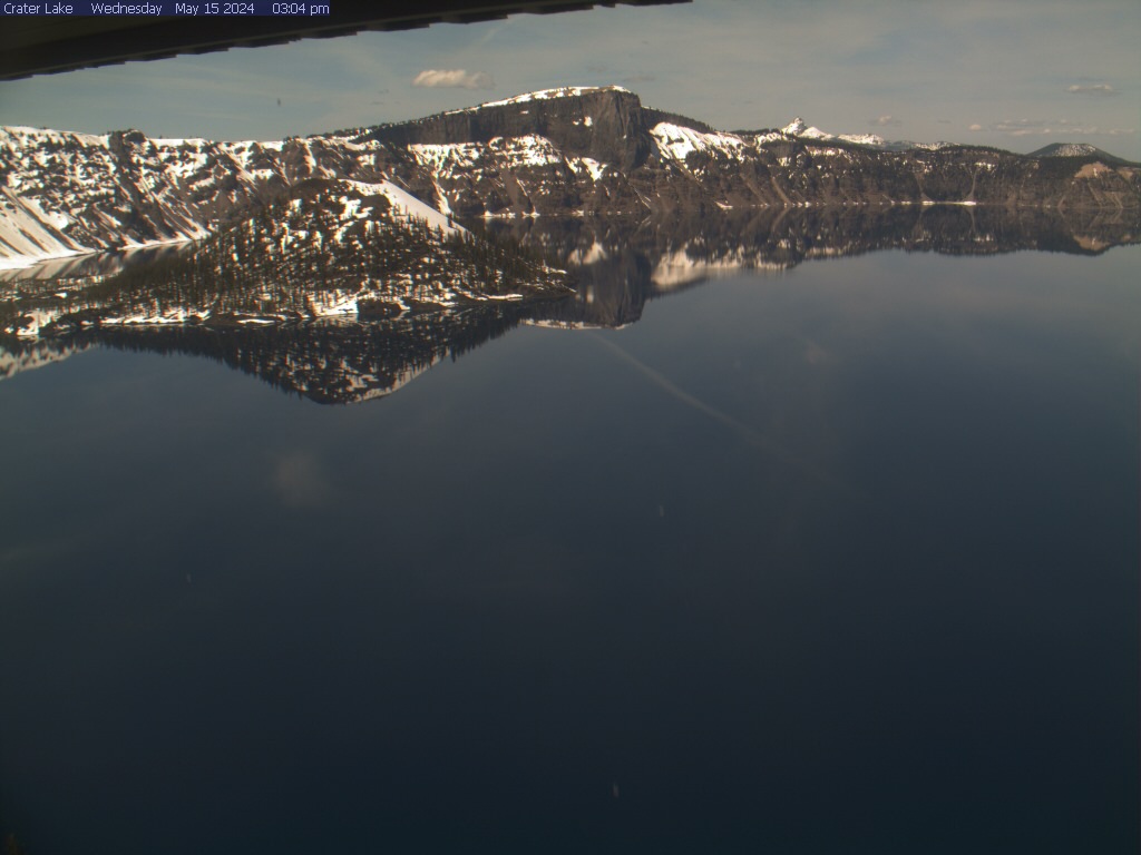
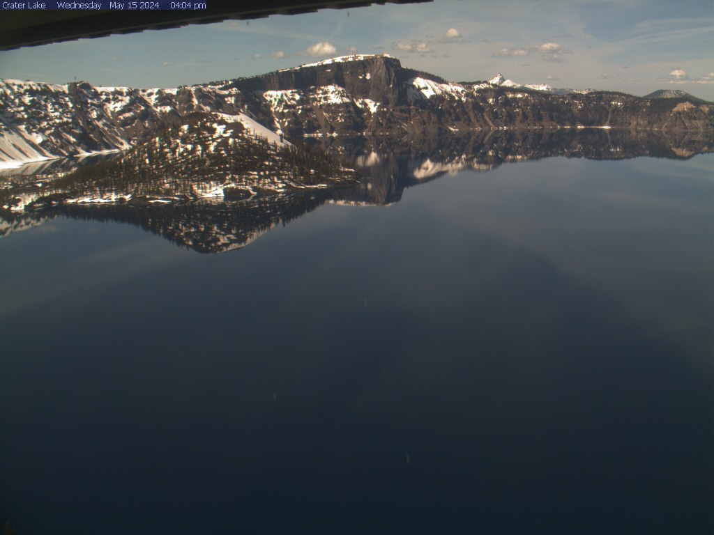
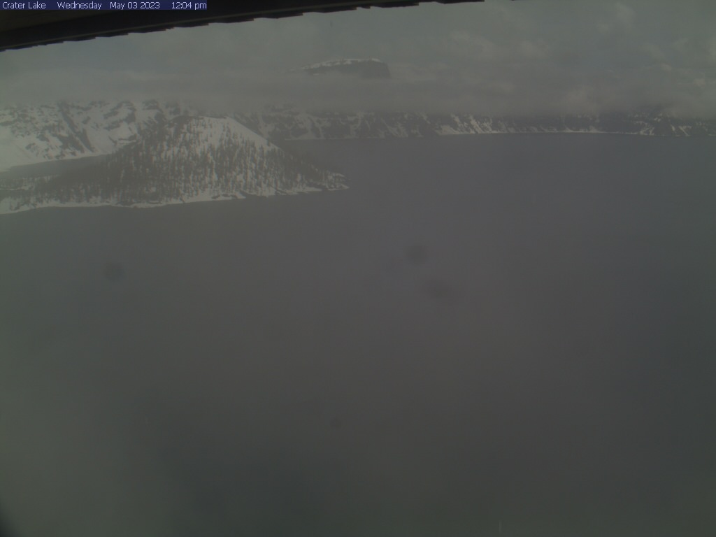
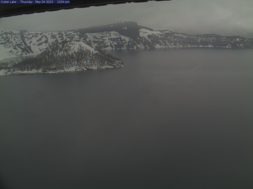
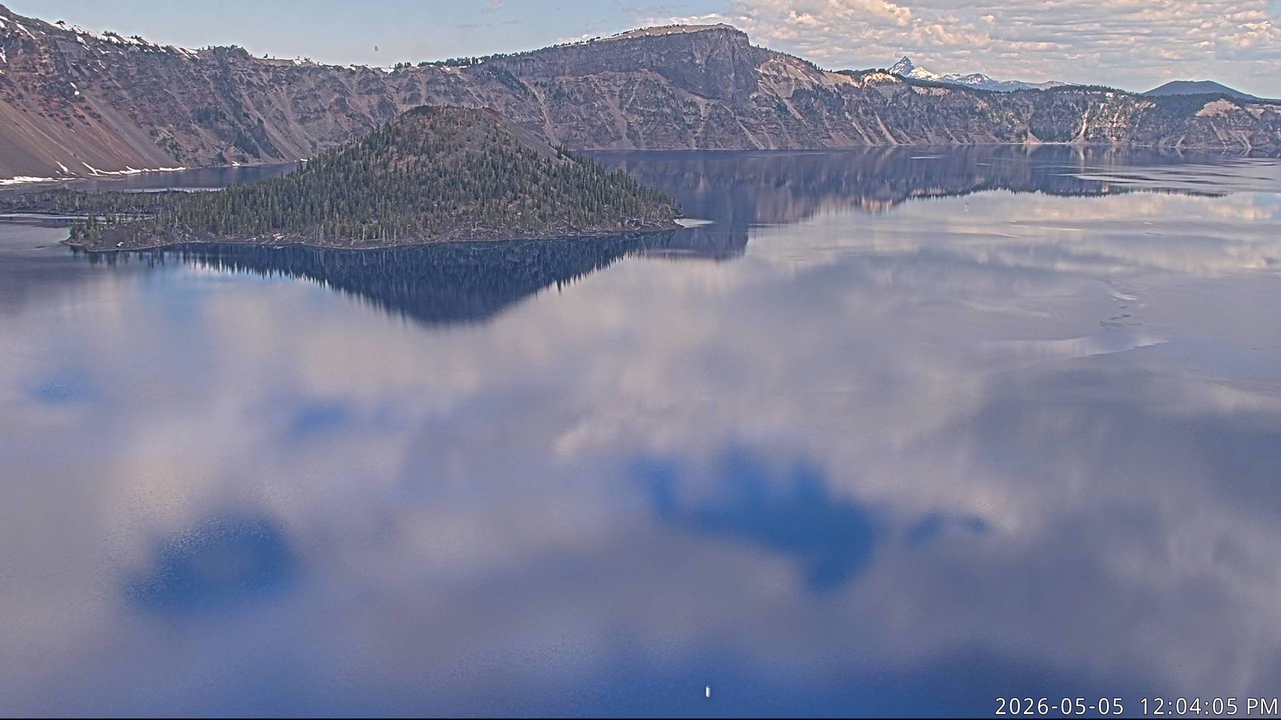
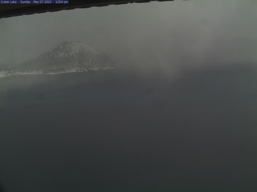
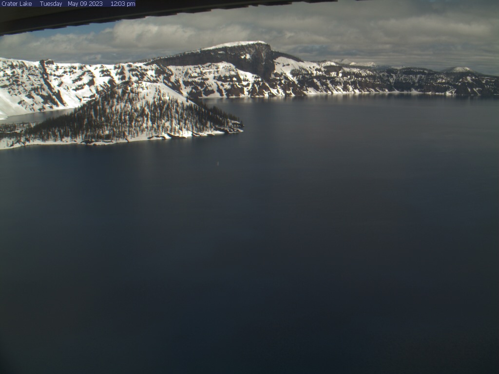
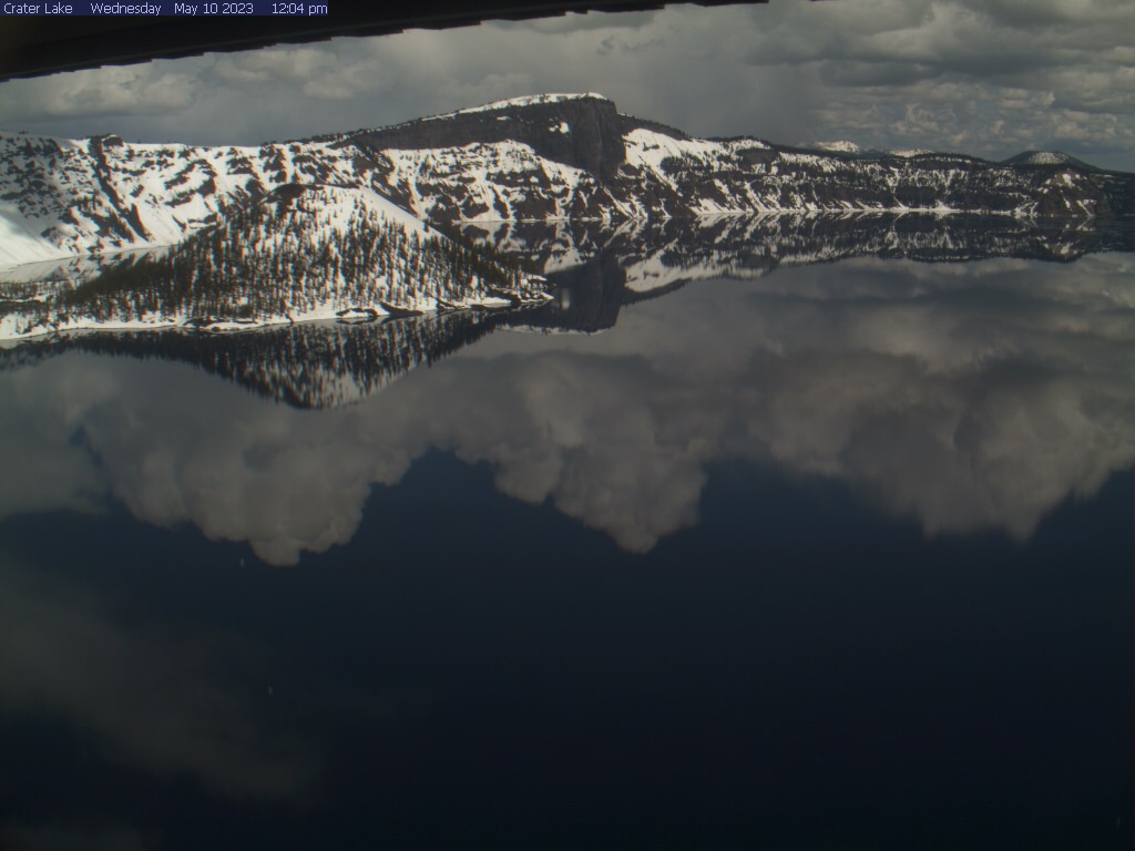
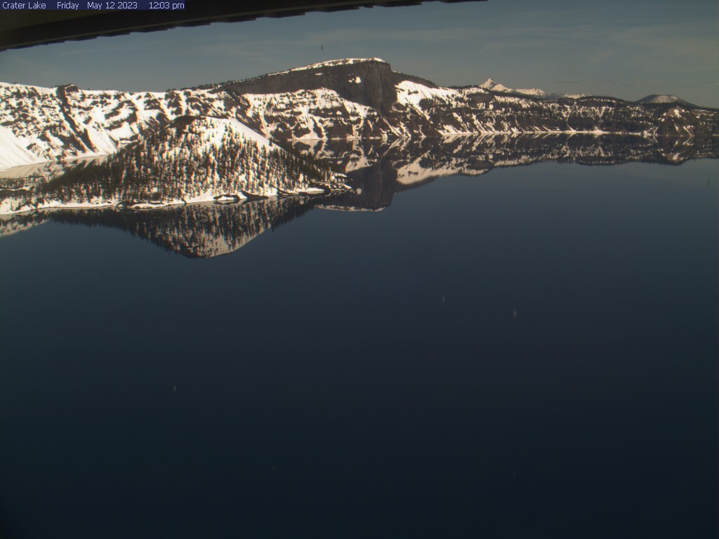
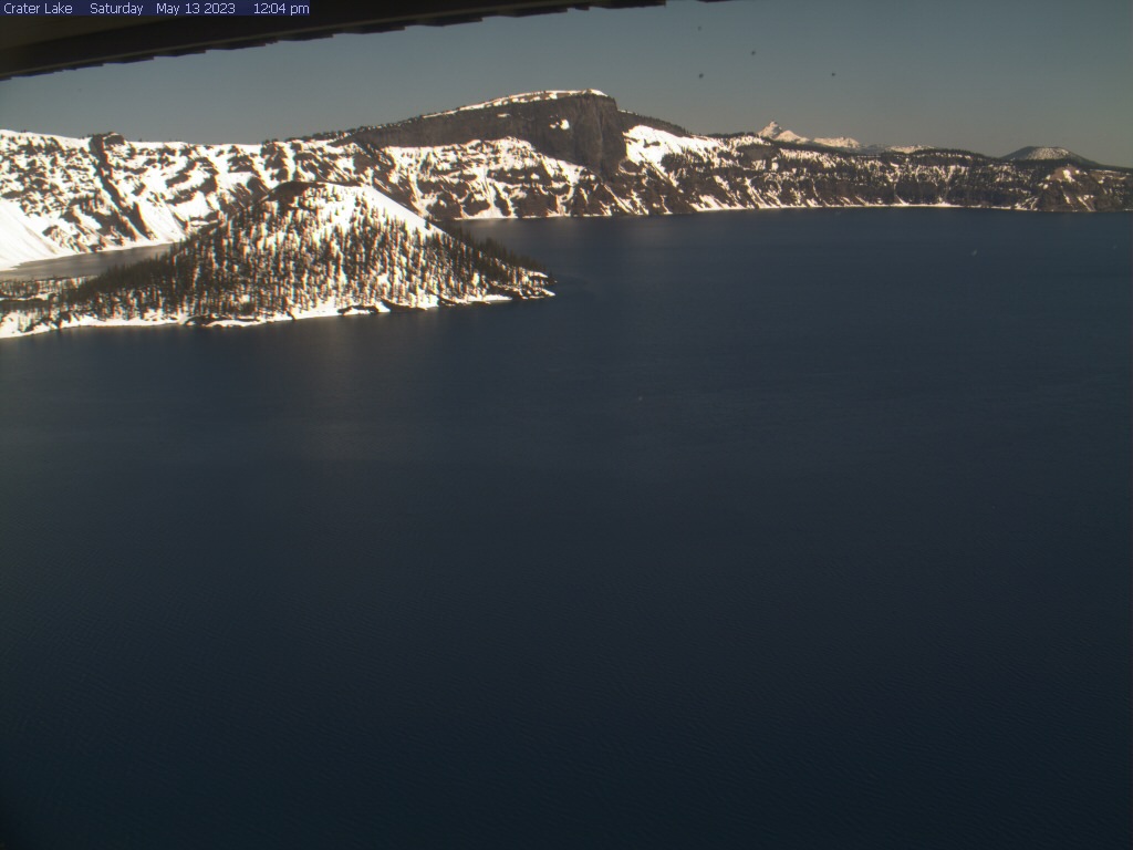
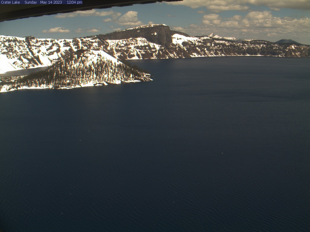
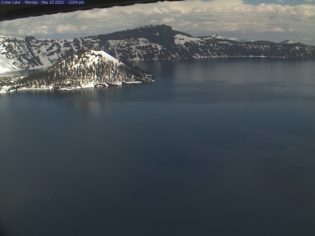
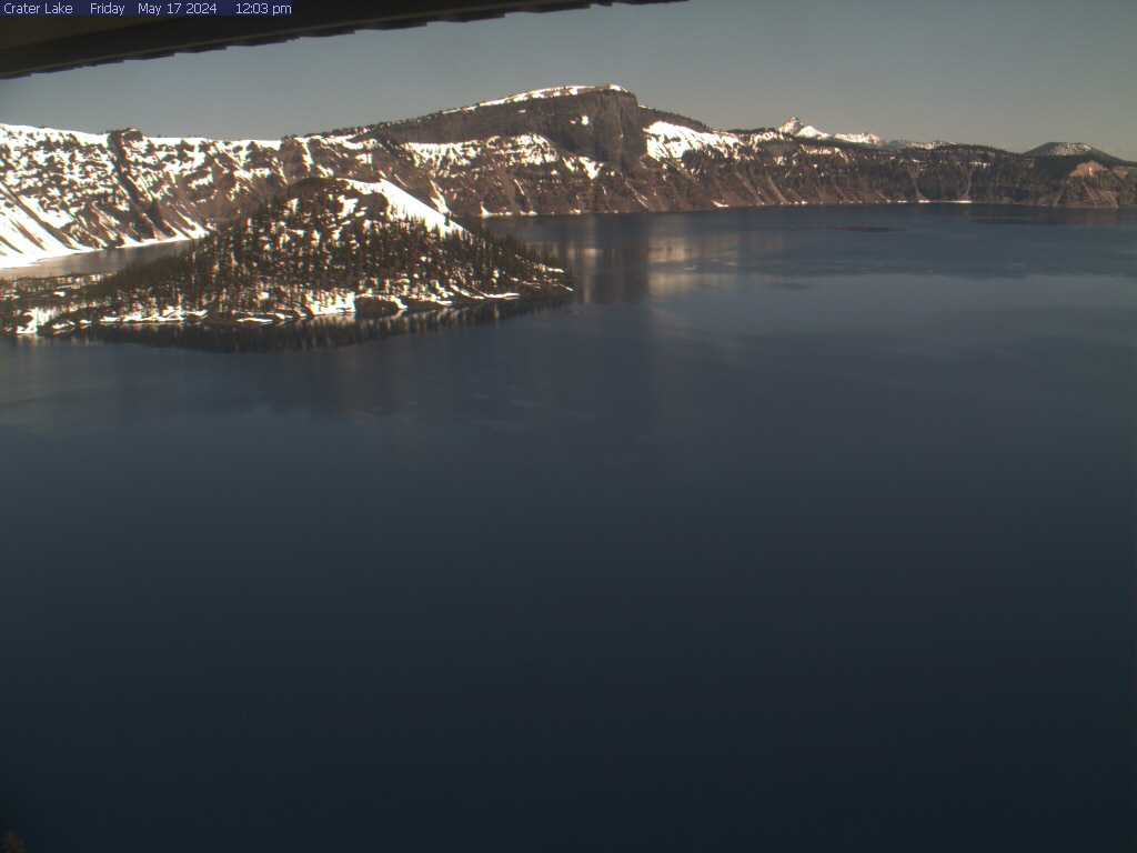
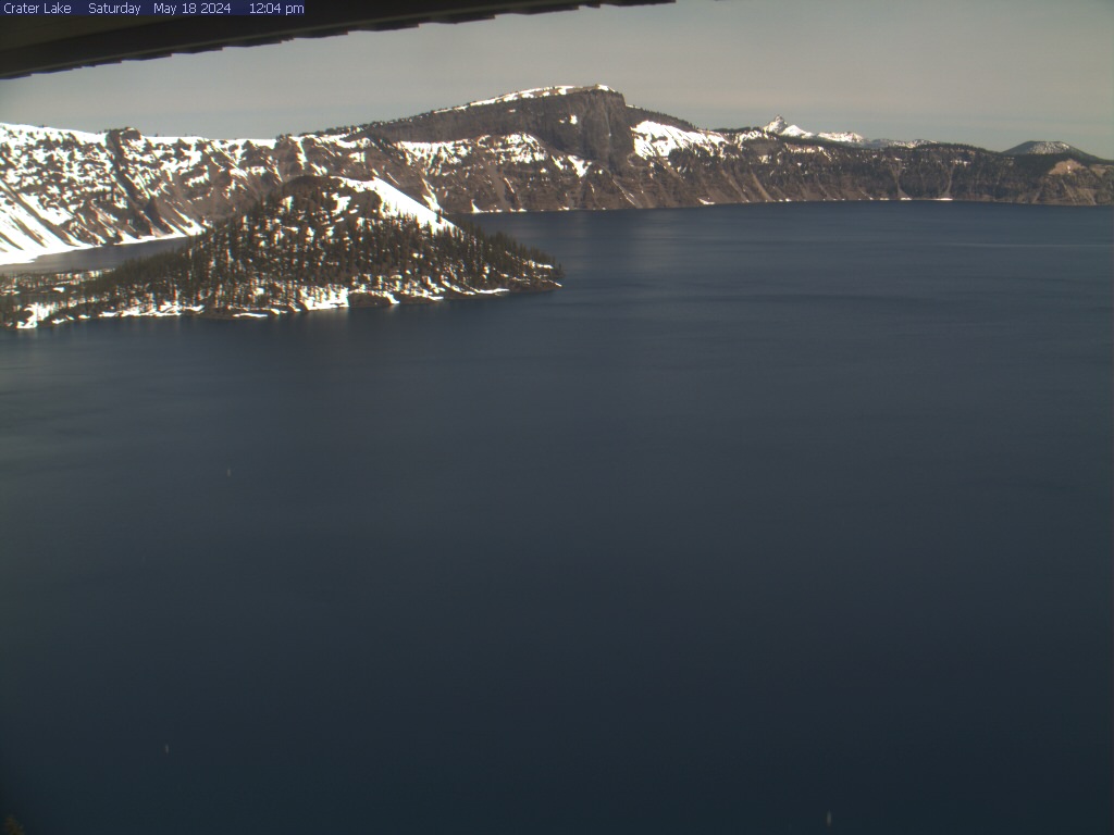
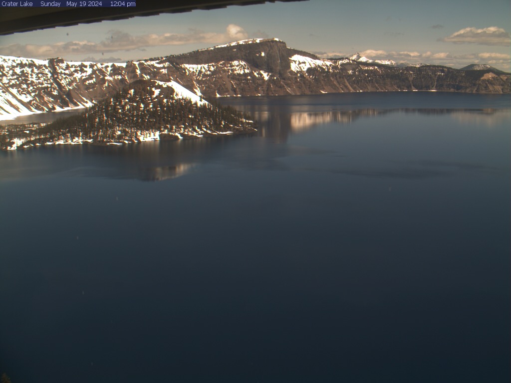
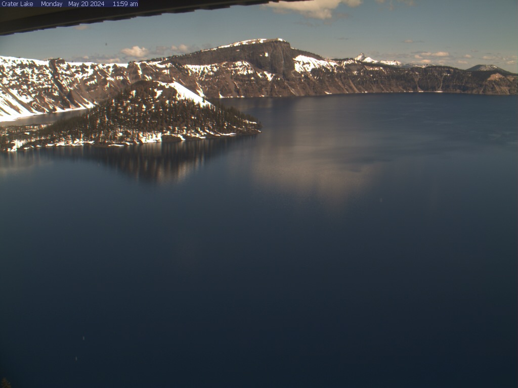
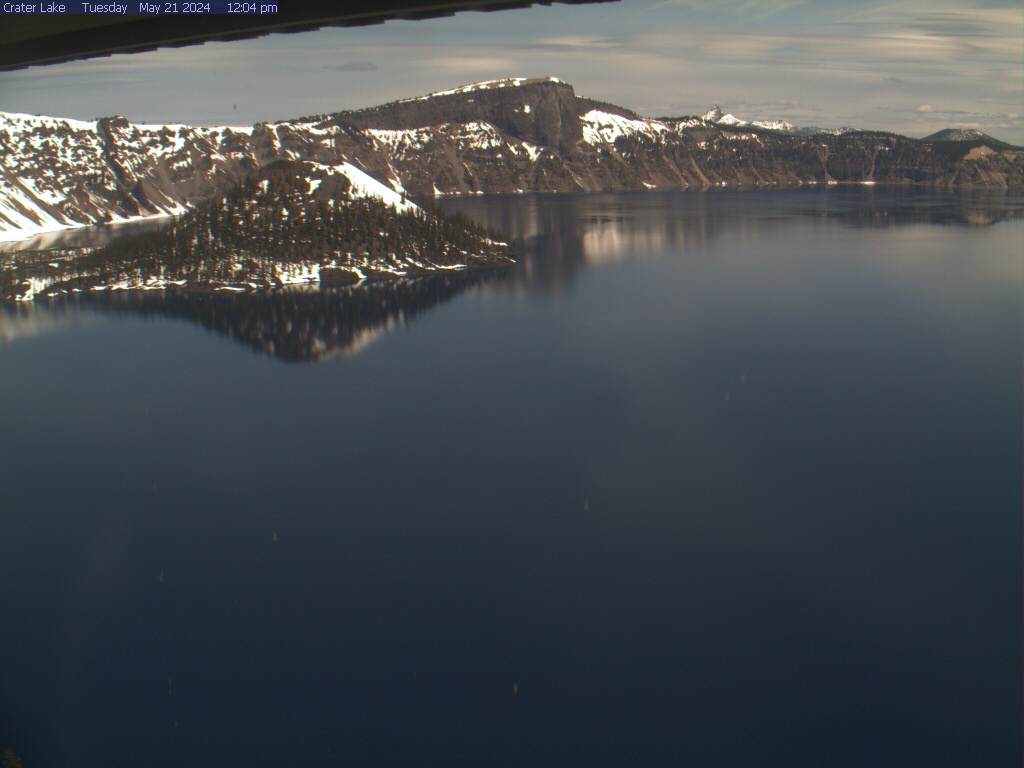
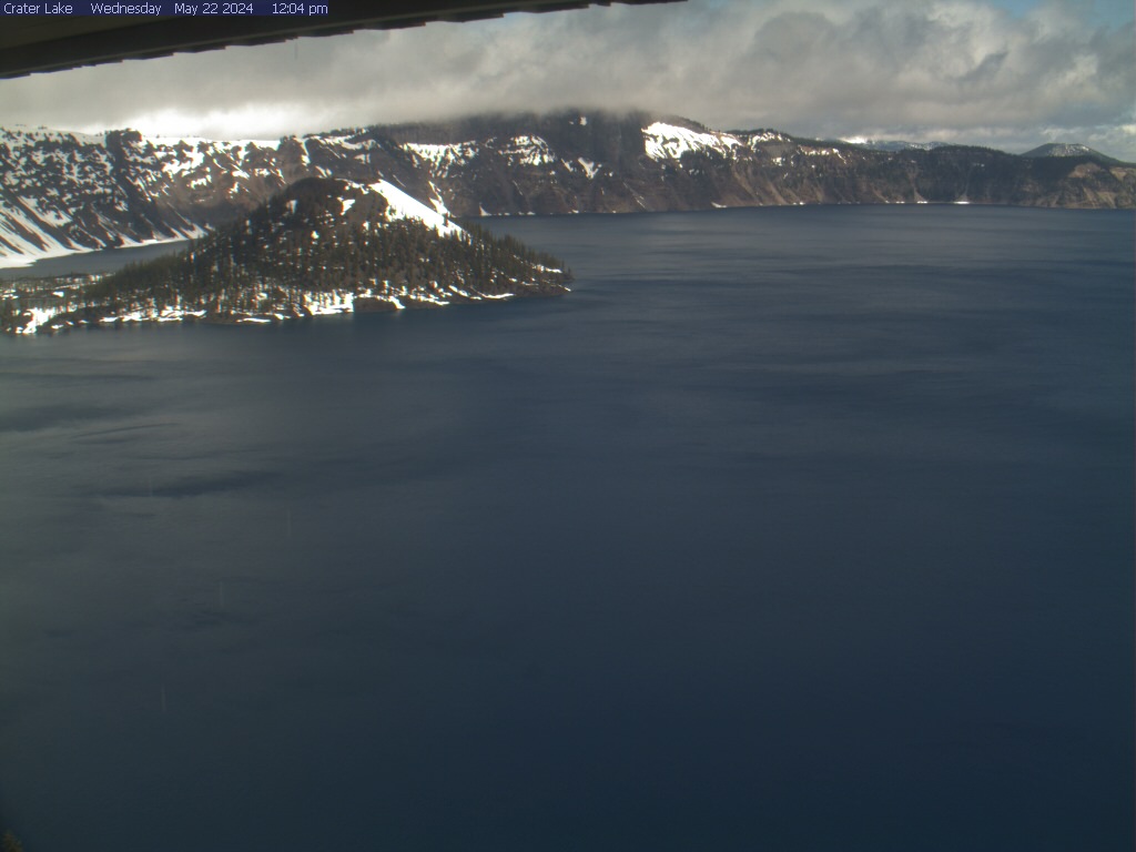
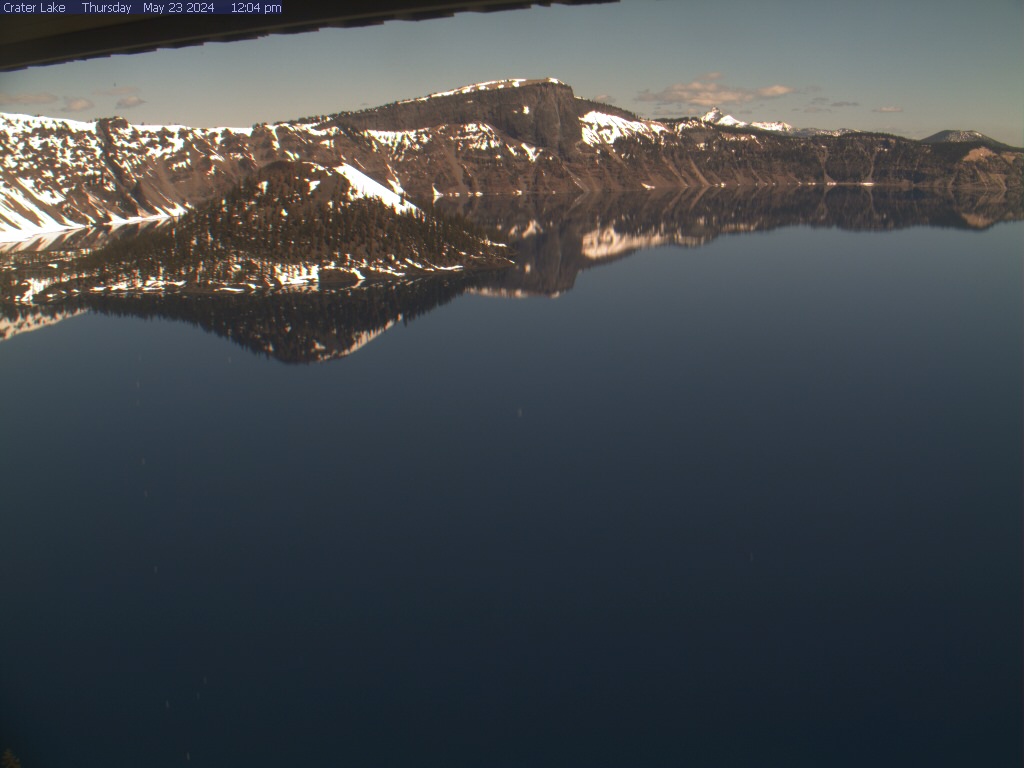
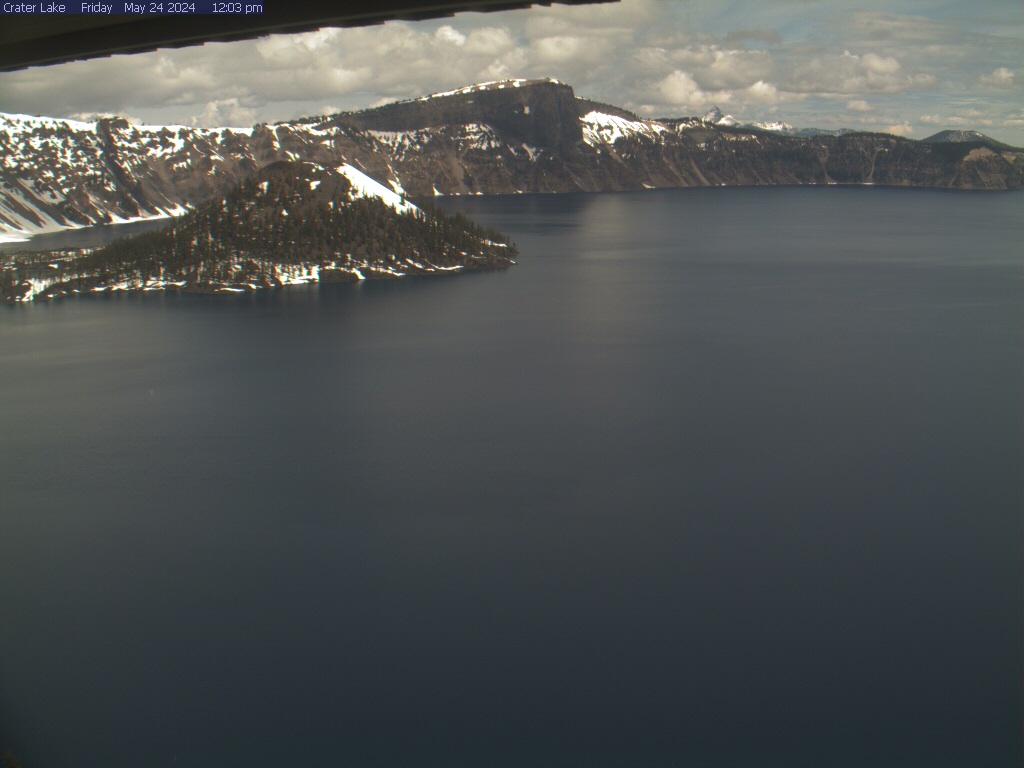
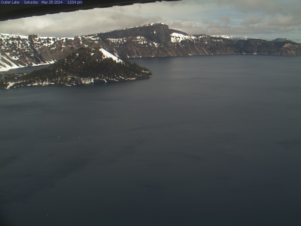
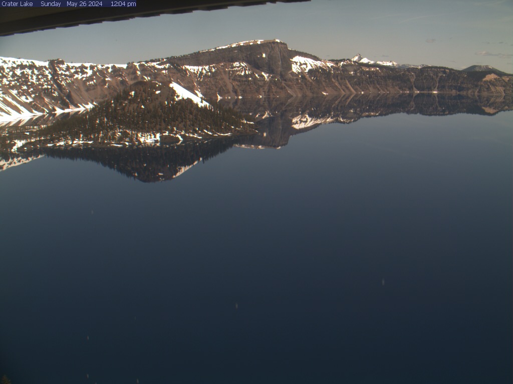
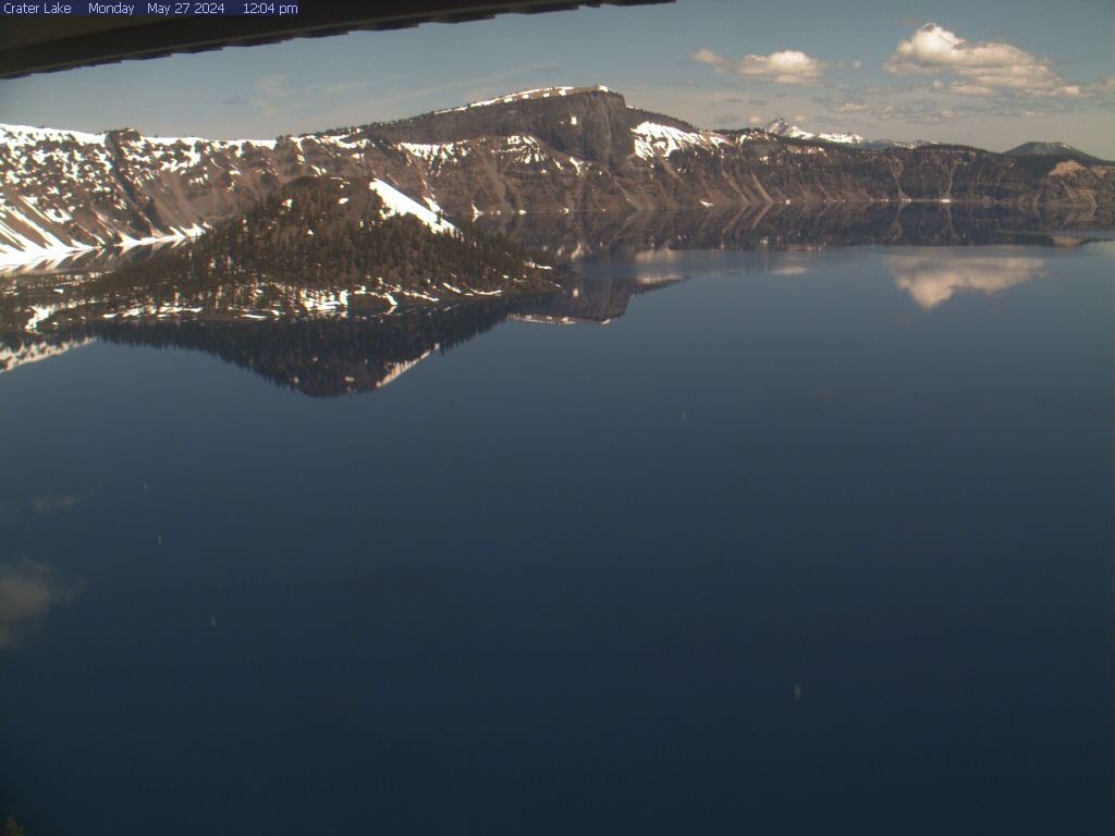
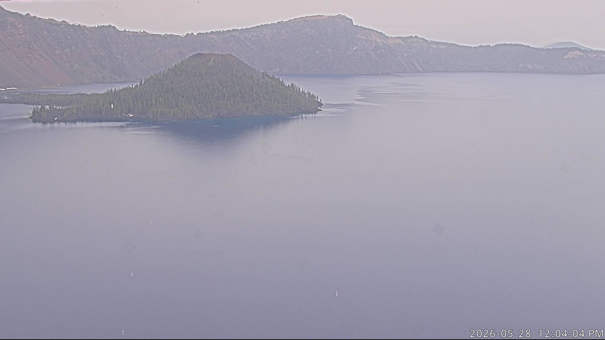
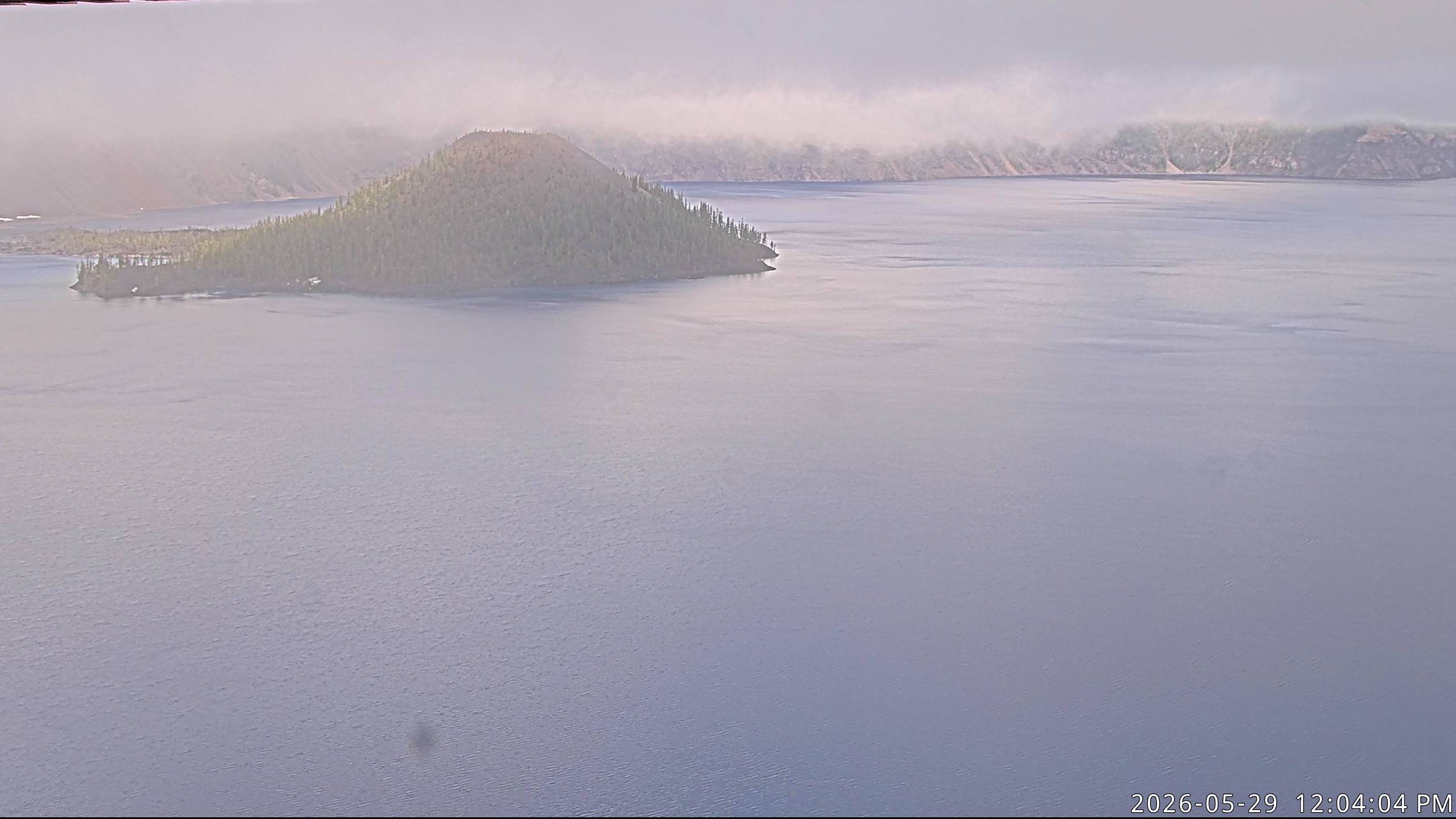
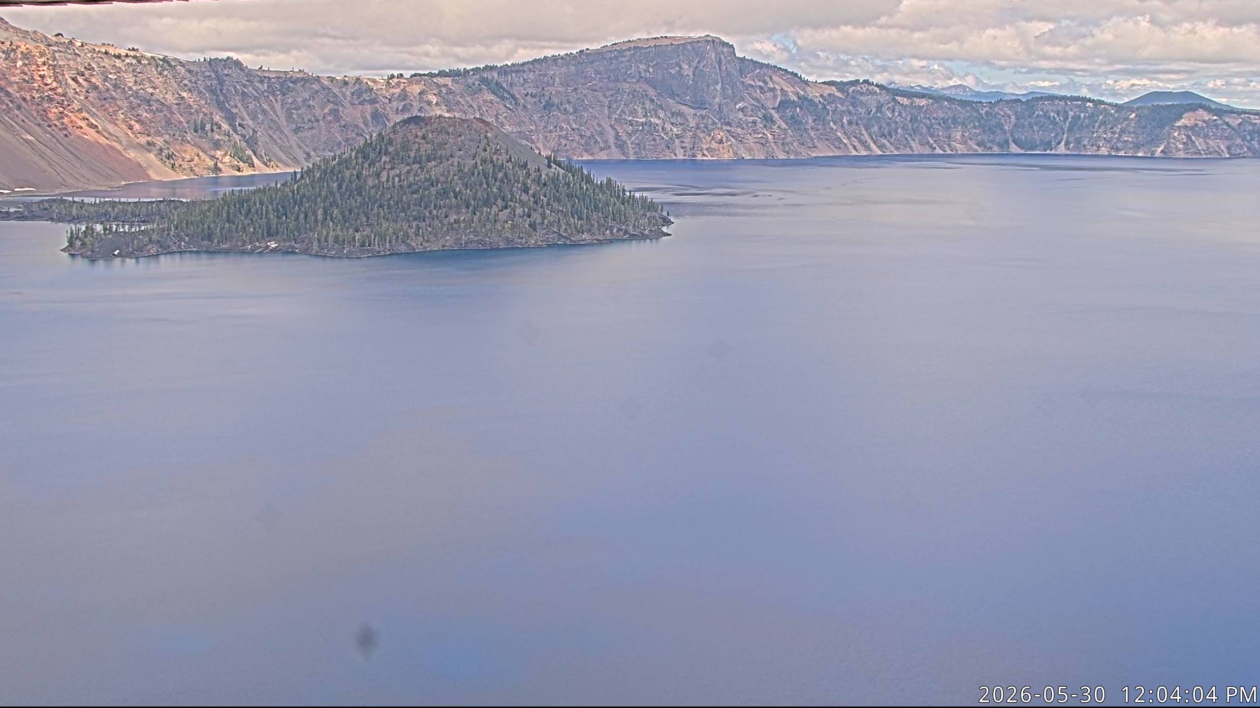
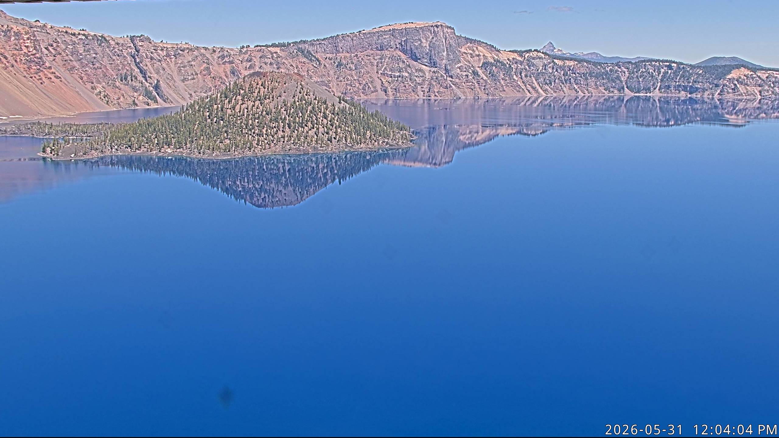
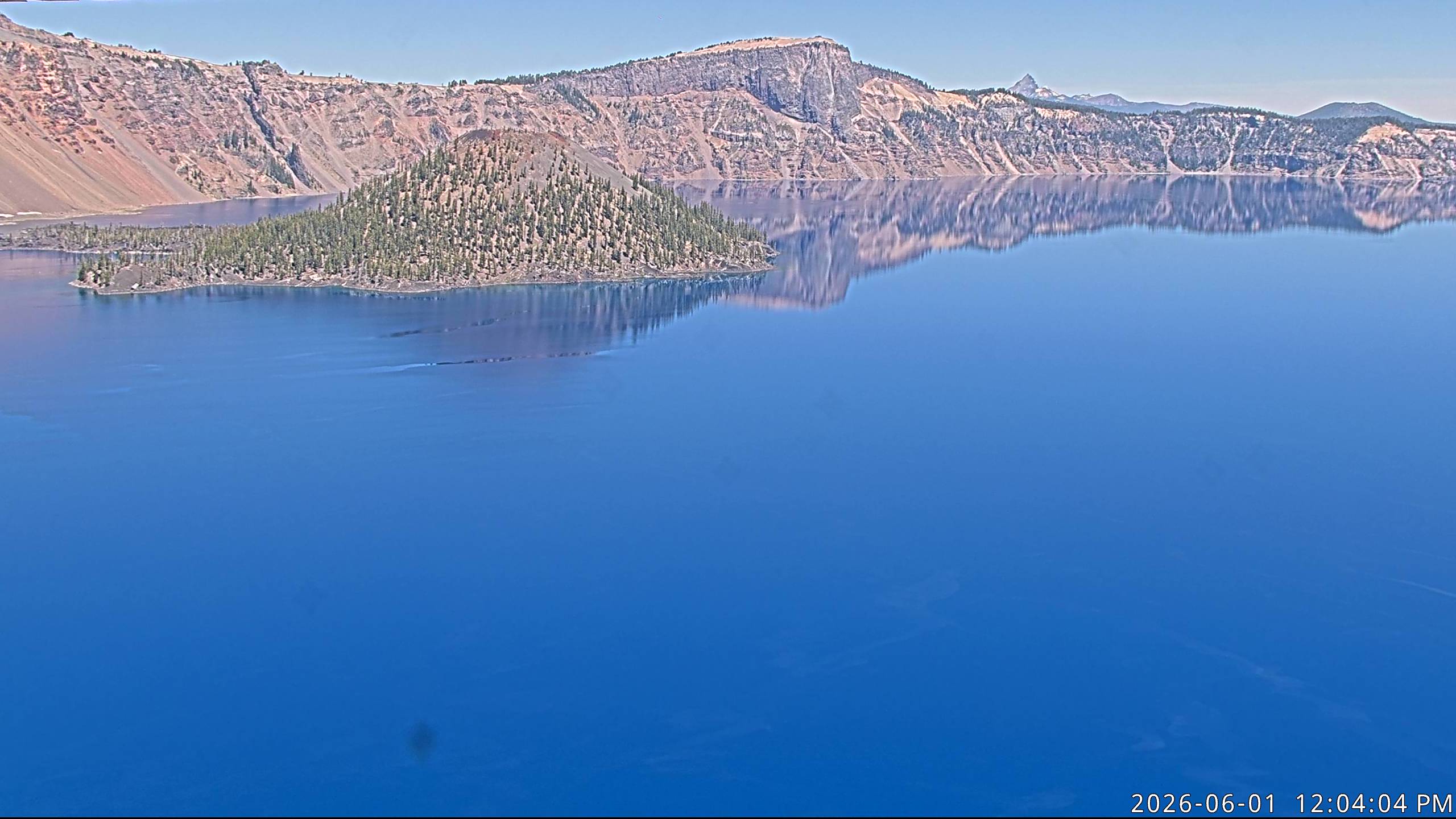
Crater Lake National Park, Oregon, USA - 138.7 km von Copic: Crater Lake - Ein Blick auf den Crater Lake mit Wizard Island und Llao Rock vom Sinnott Memorial Overlook, Crater Lake National Park.
Operator: U.S. National Park Service
Operator: U.S. National Park Service


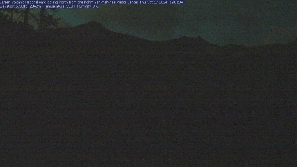
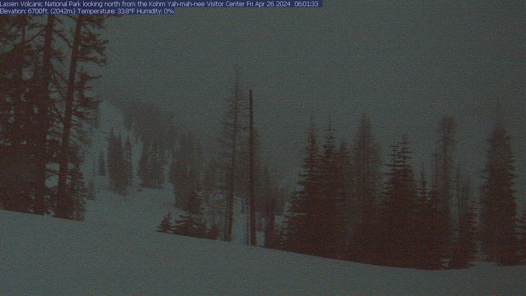
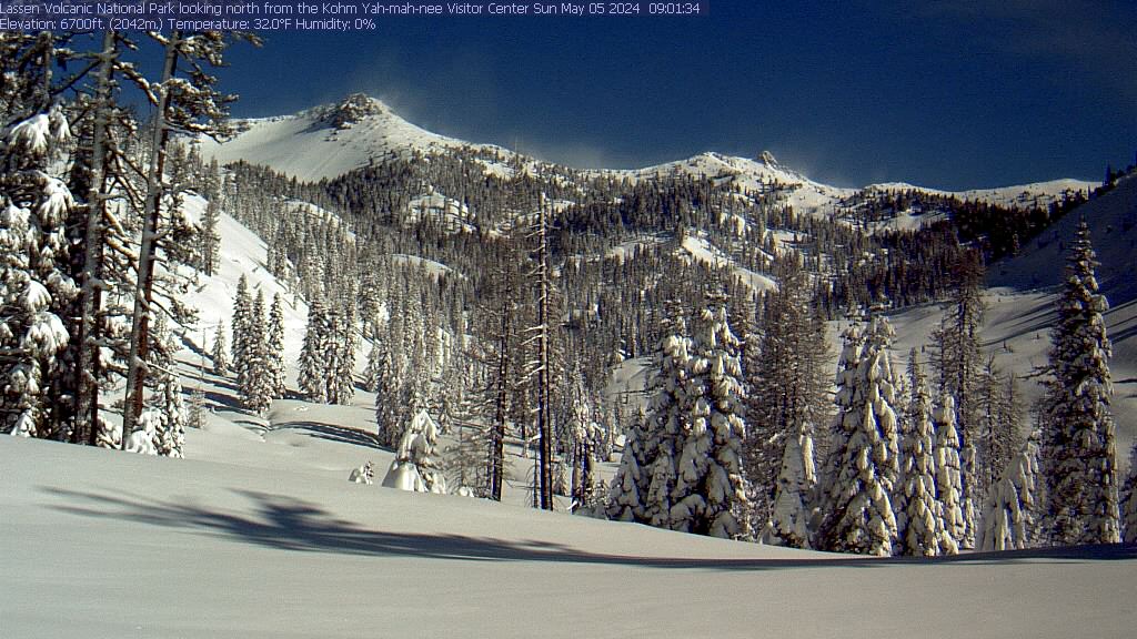
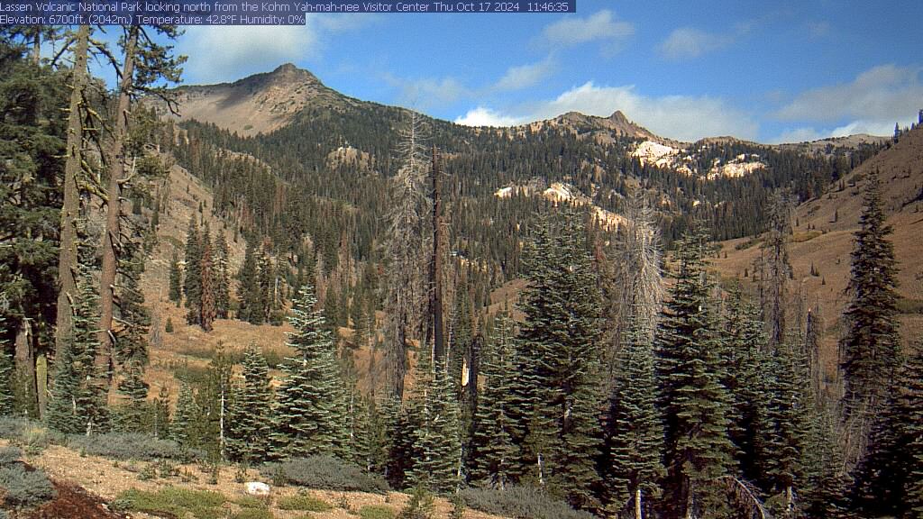
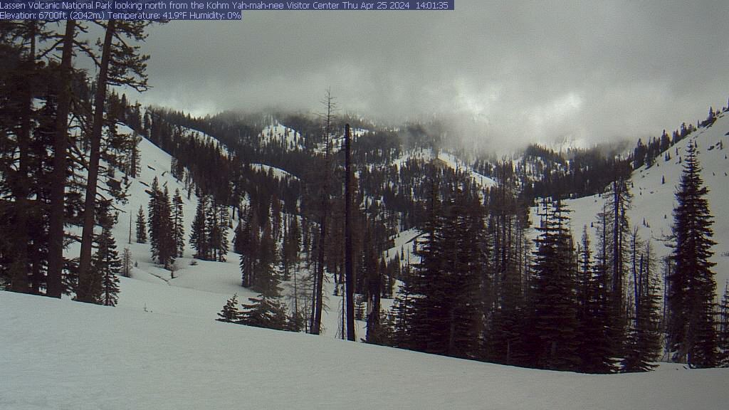
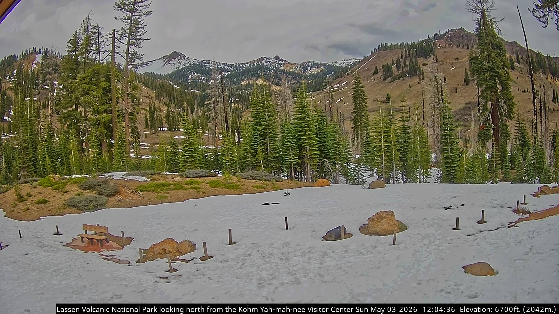
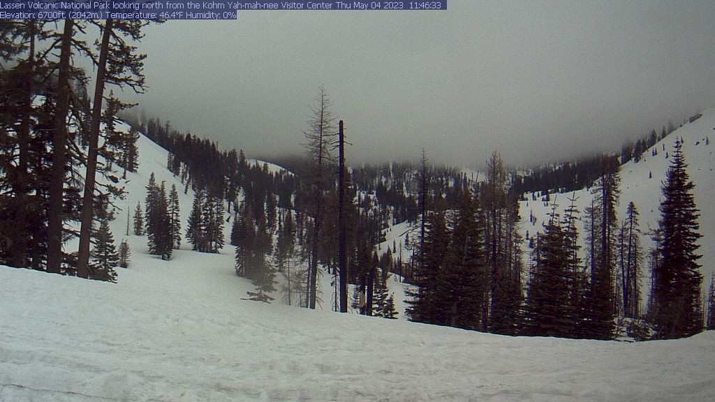
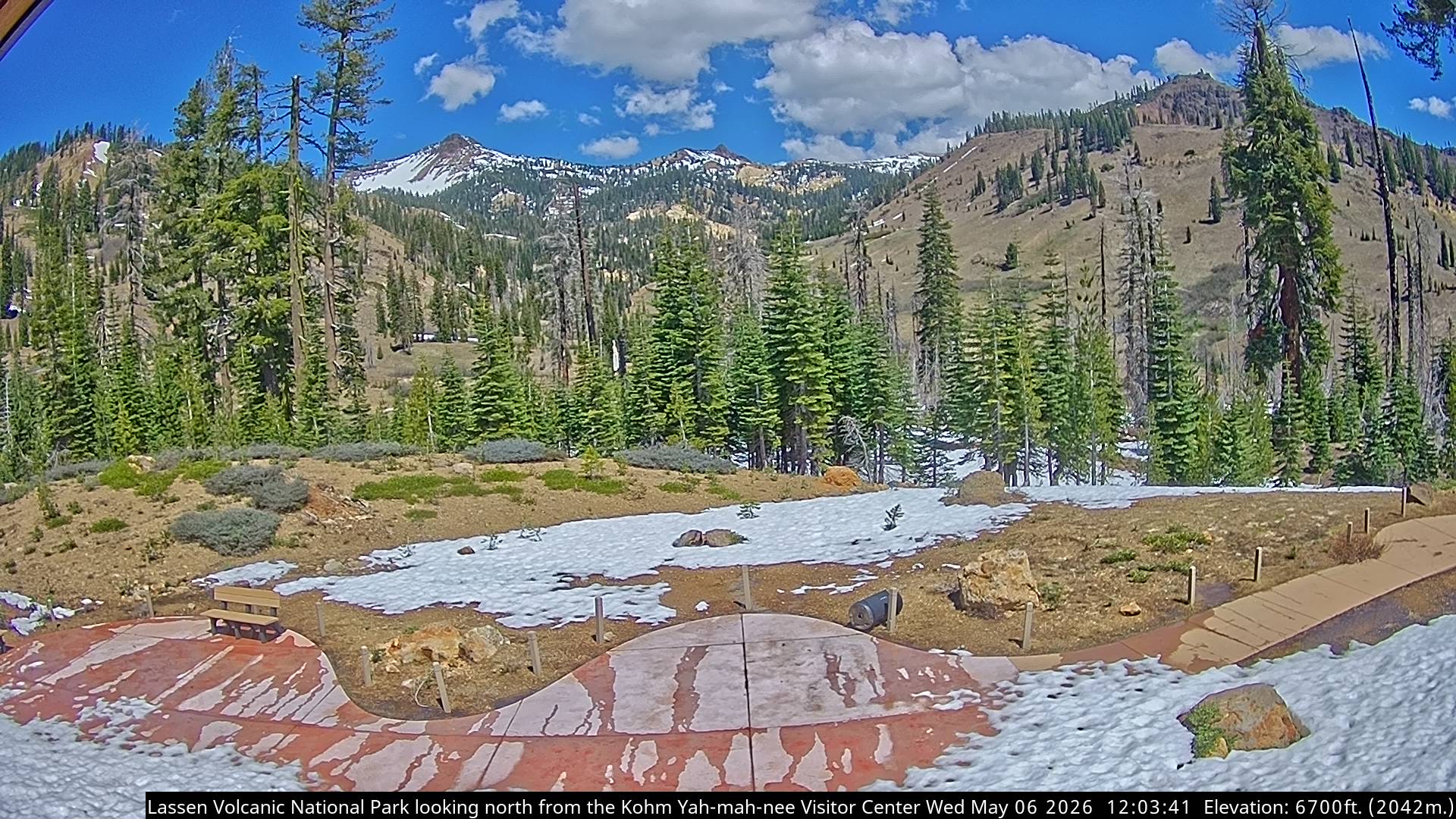
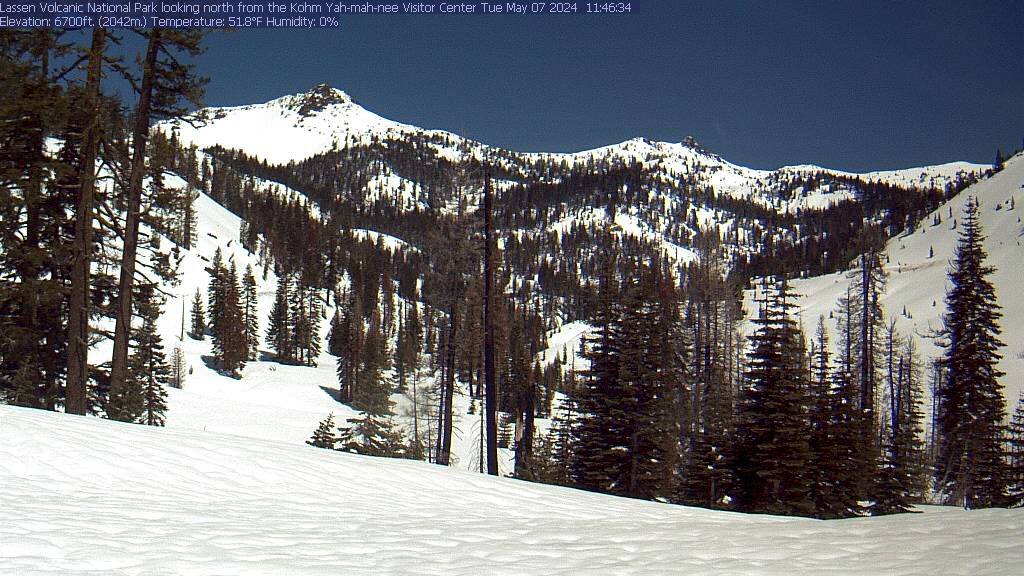
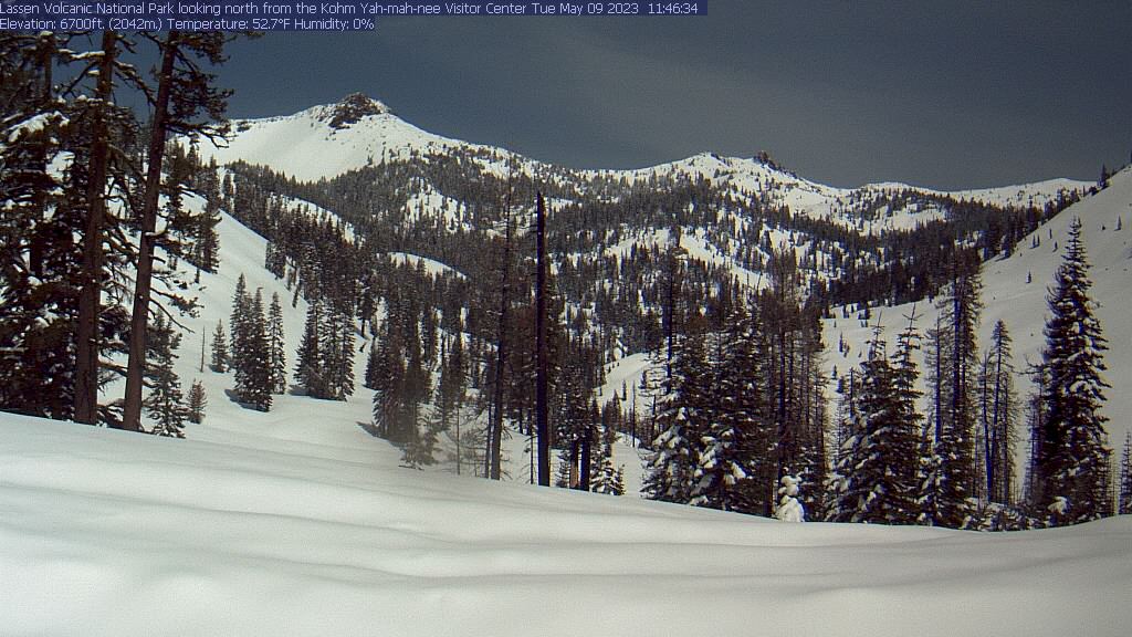
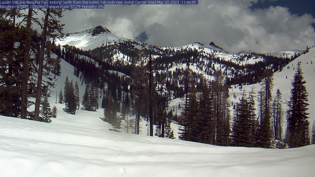
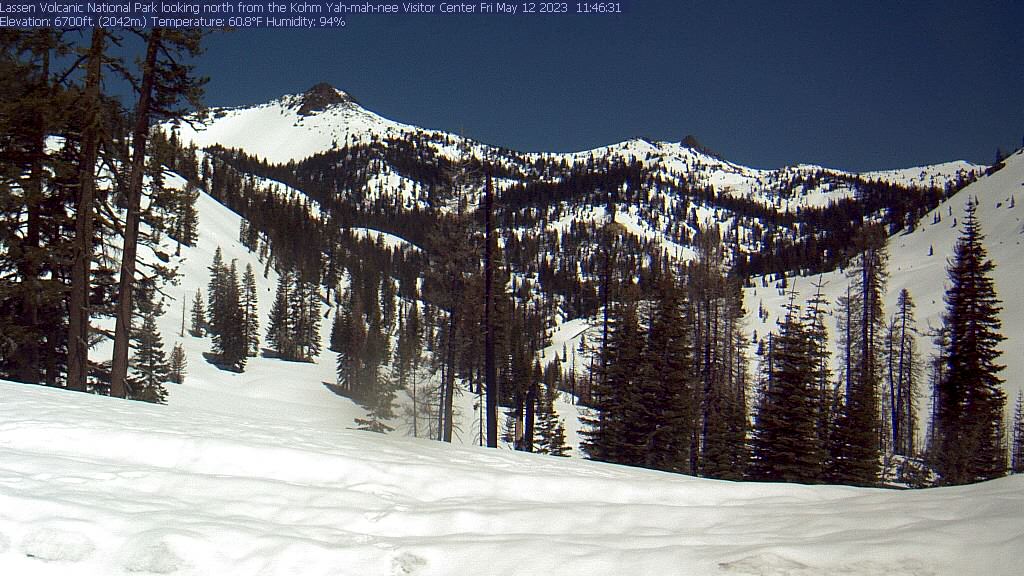
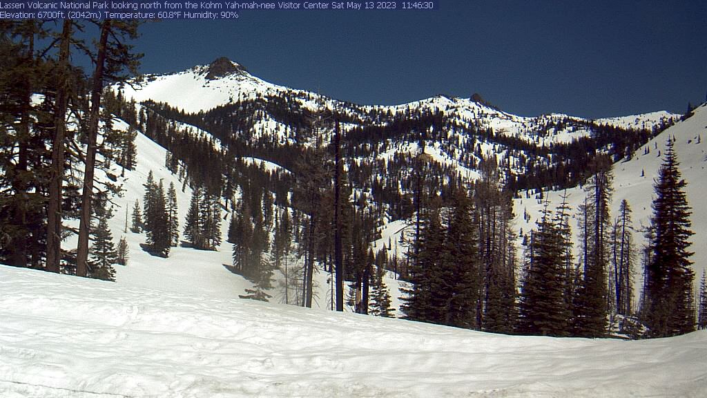
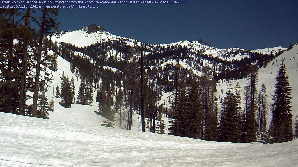
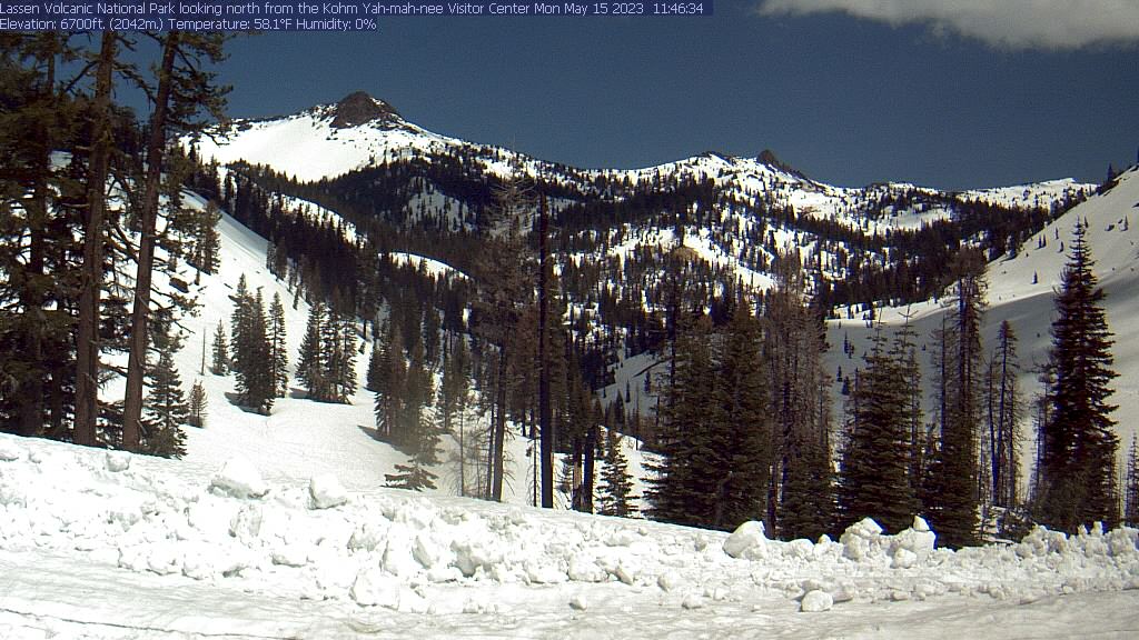
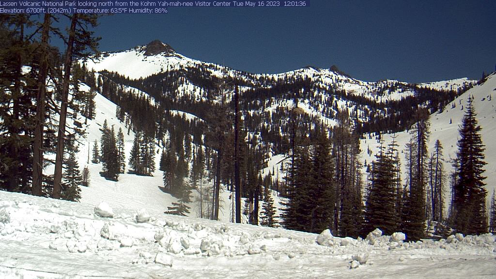
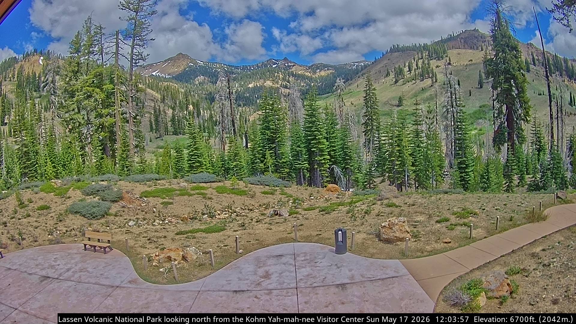
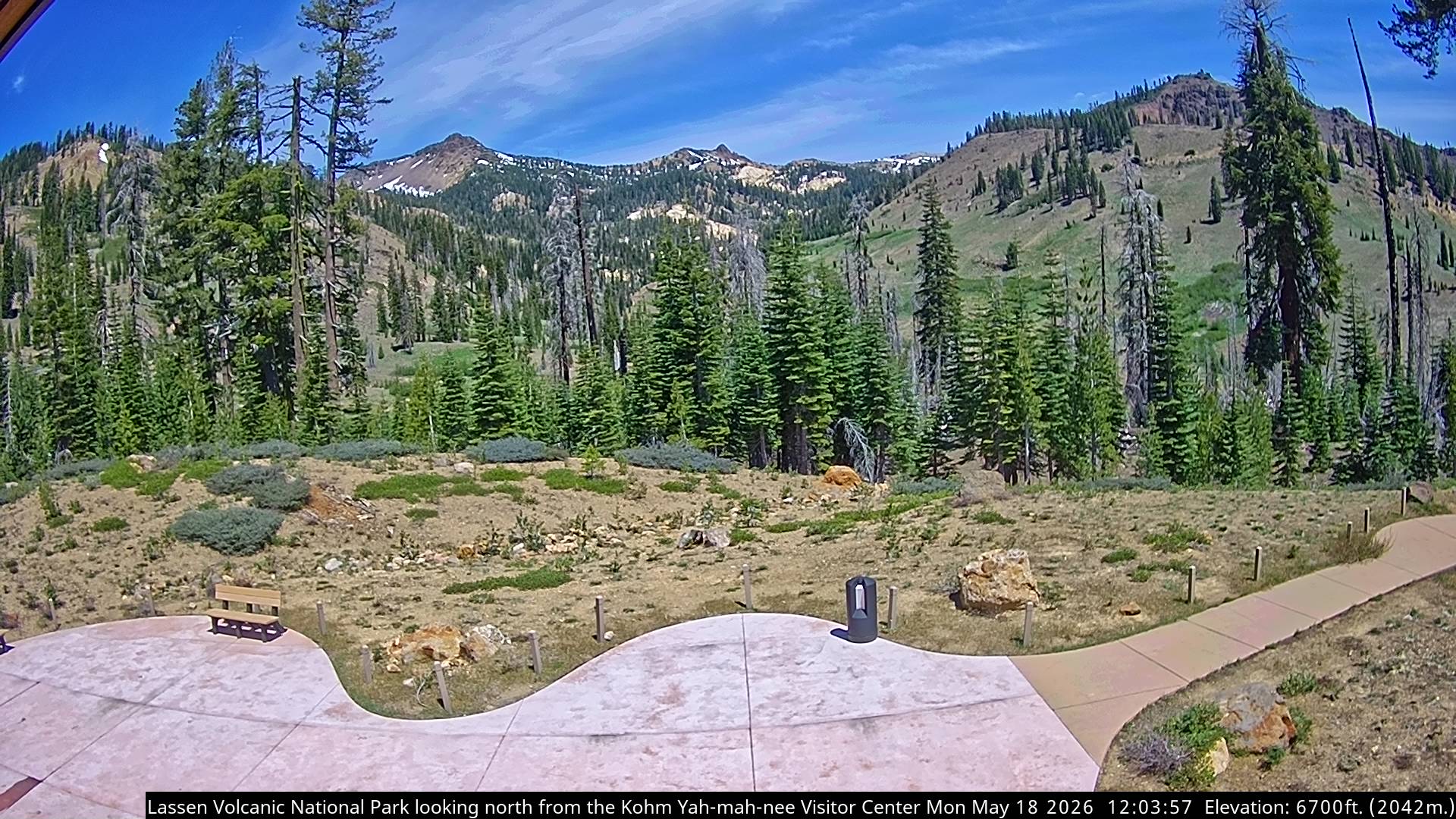
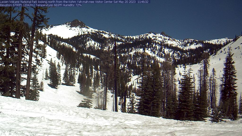
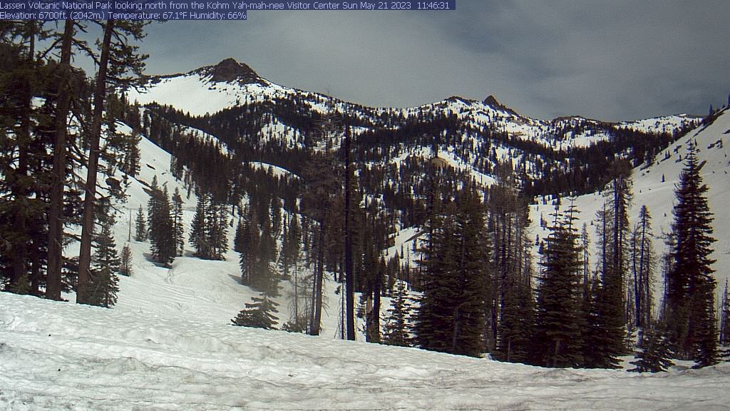
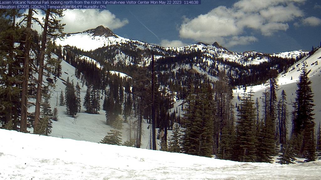
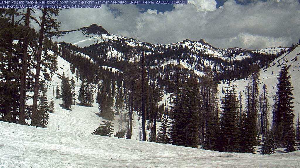
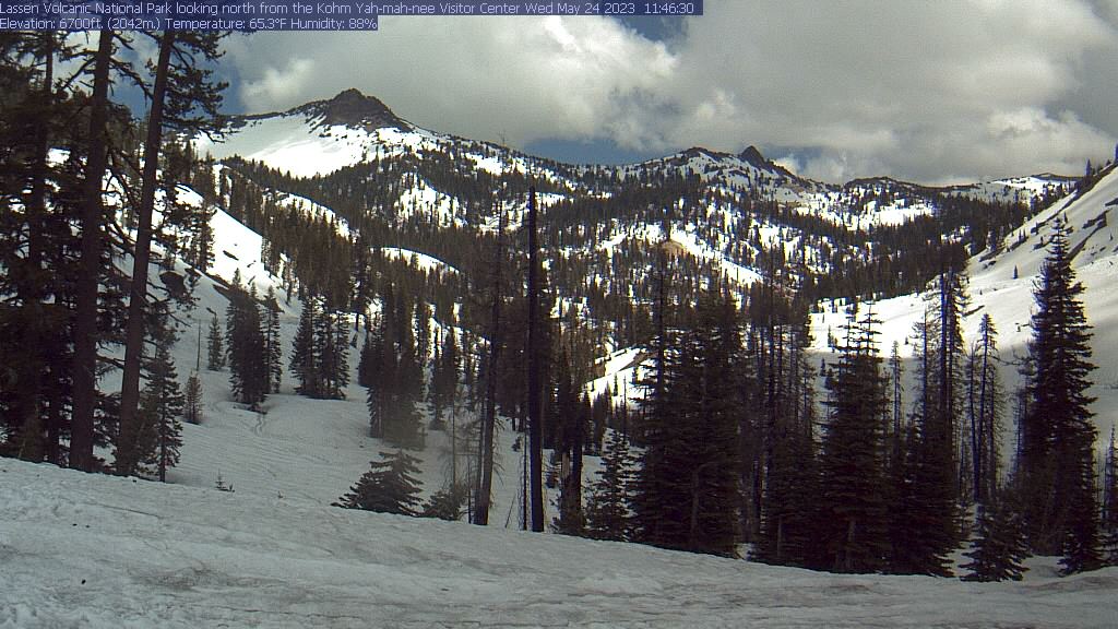
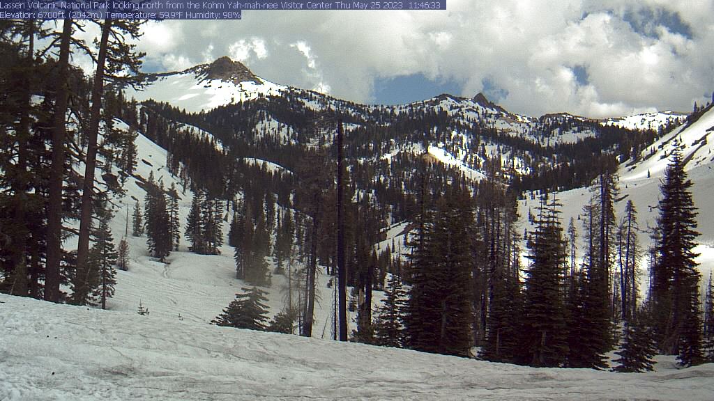
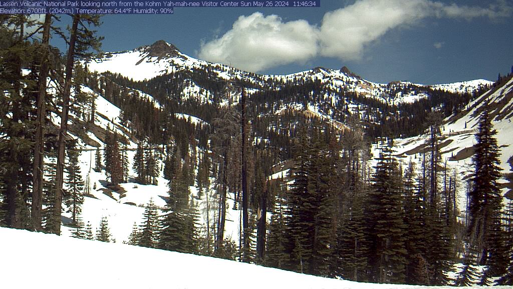
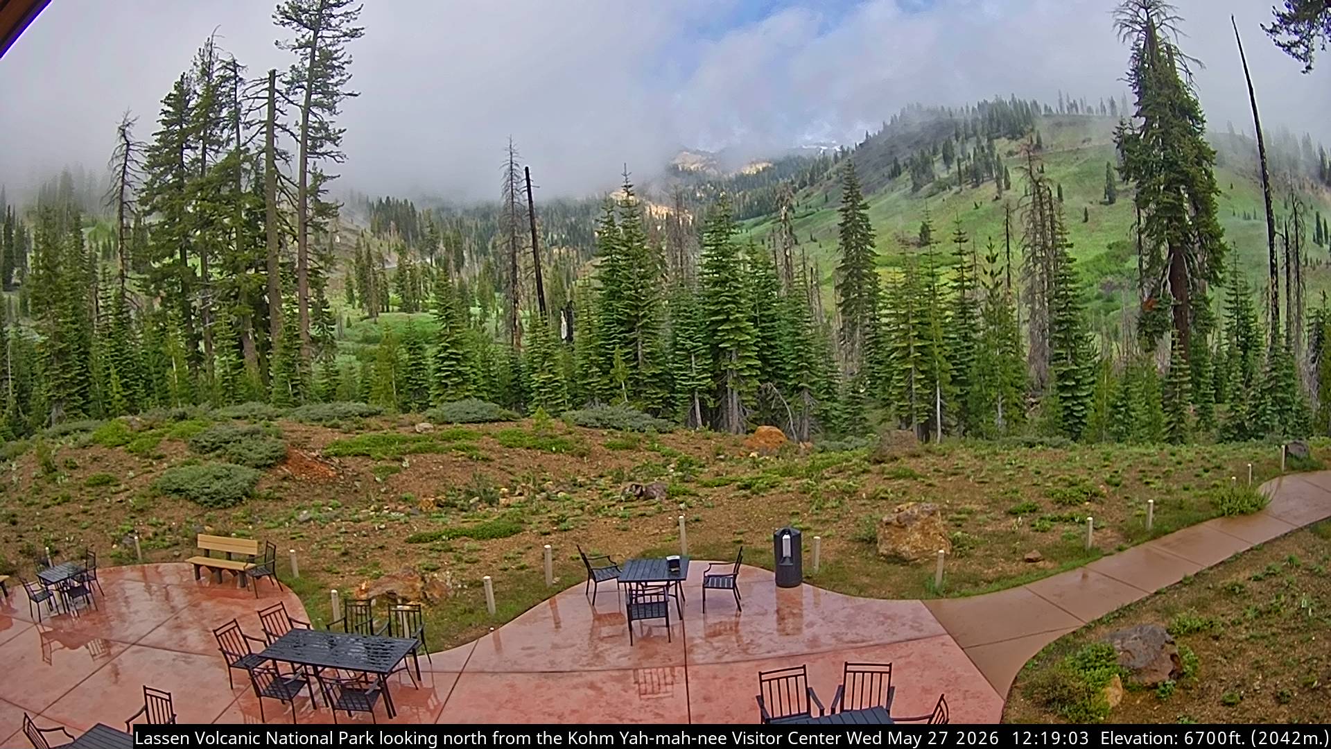
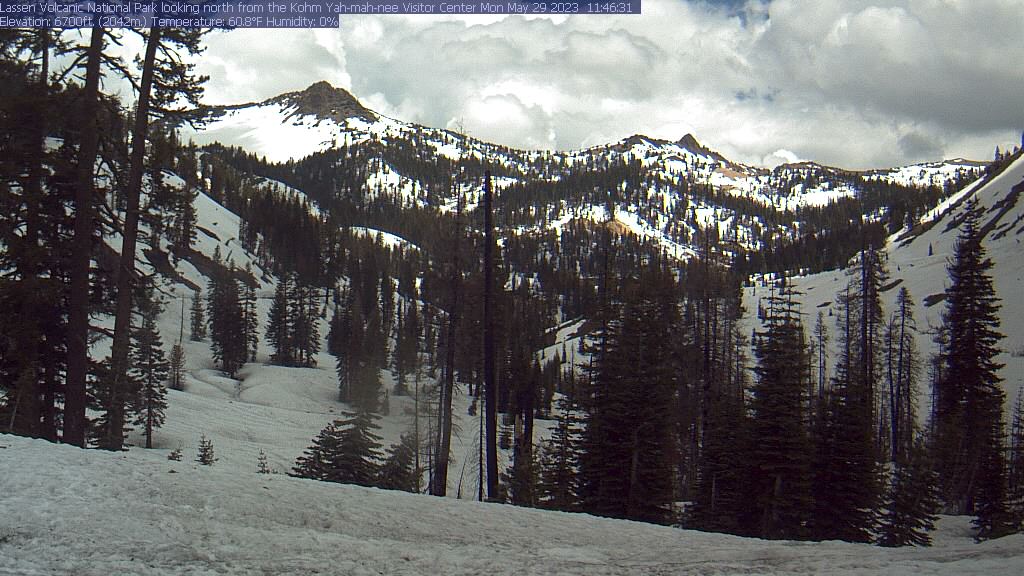
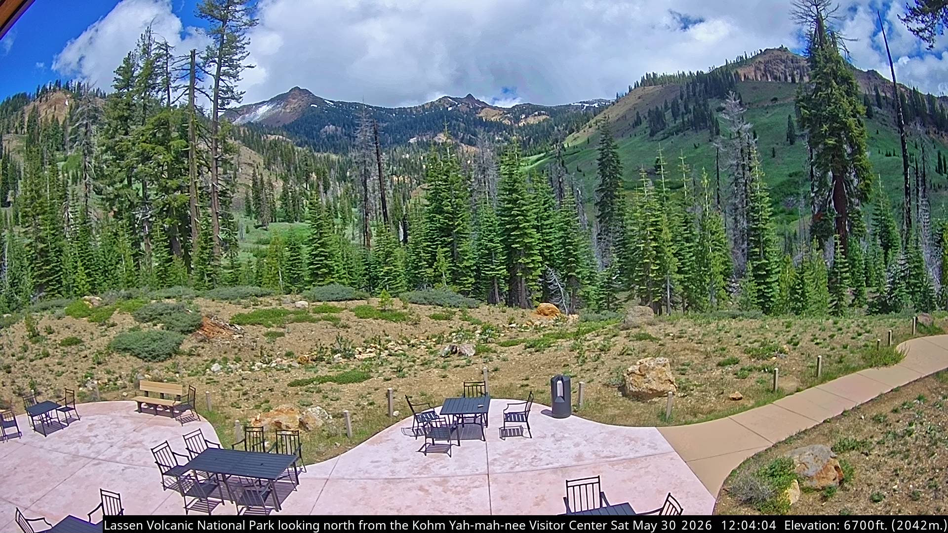
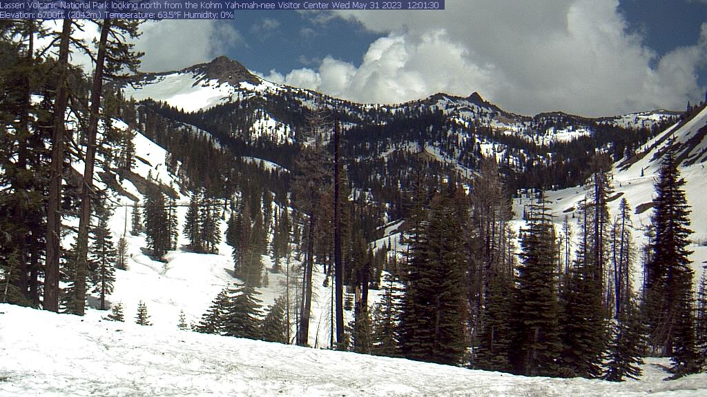
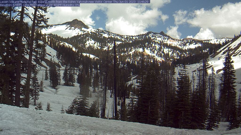
Lassen Volcanic National Park, California, USA - 151.2 km von Copic: Kohm Yah-mah-nee Visitor Center - Ein Blick vom Kohm Yah-mah-nee Visitor Center im Lassen Volcanic National Park Richtung Mt. Diller (links) und Pilot Pinnacle (rechts).
Operator: U.S. National Park Service
Operator: U.S. National Park Service


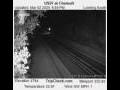
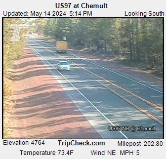
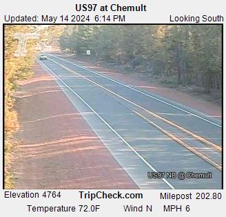
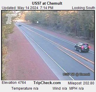
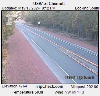
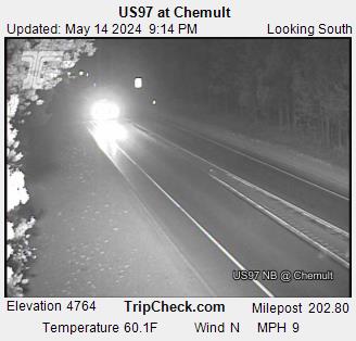
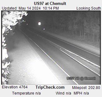
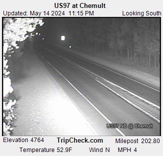
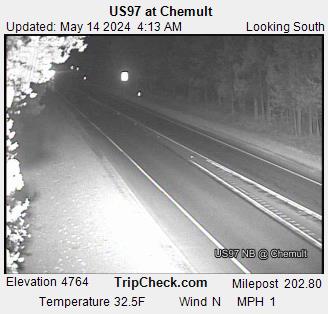
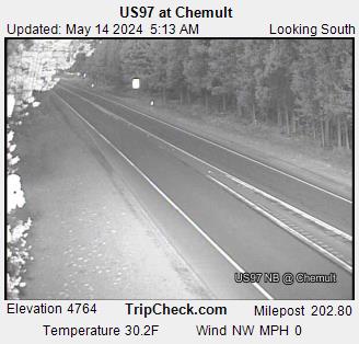
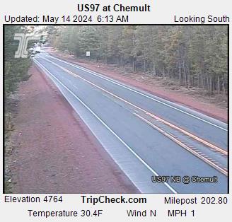
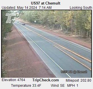
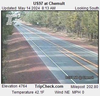
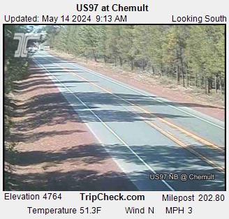
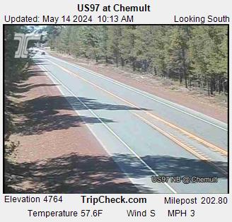
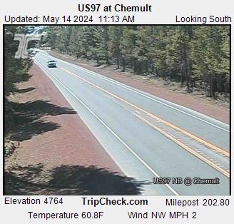
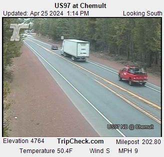
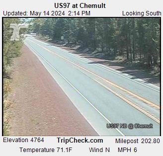
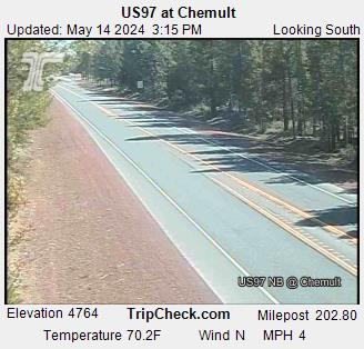
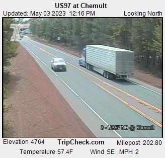
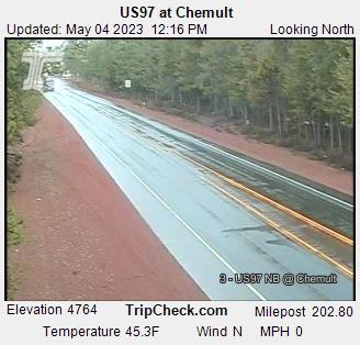
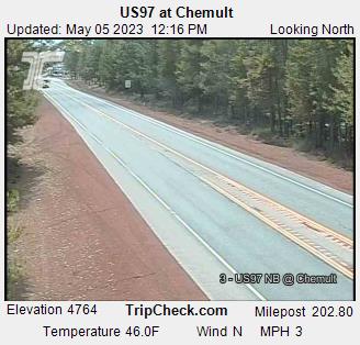
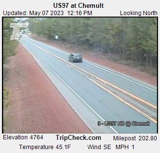
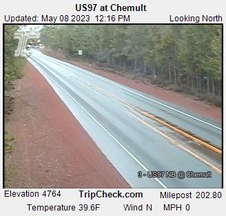
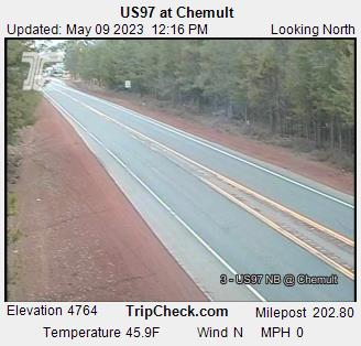
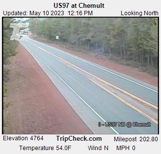
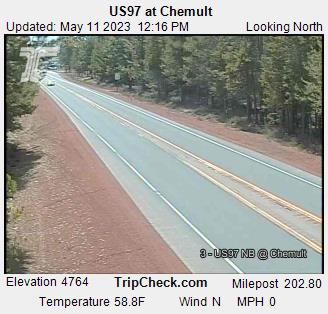
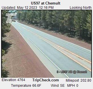
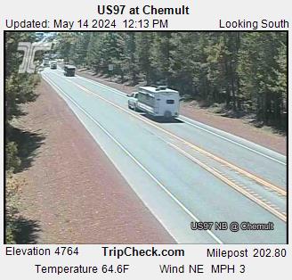
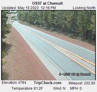
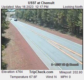
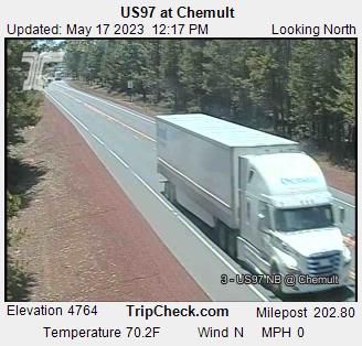
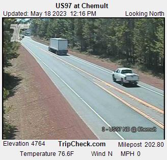
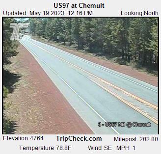
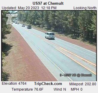
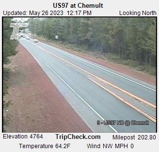
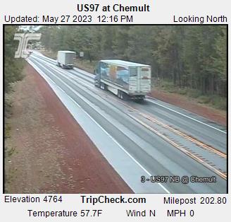
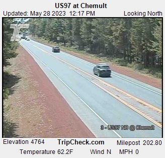
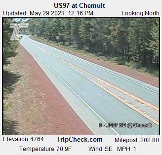
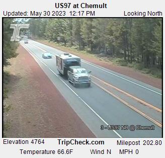
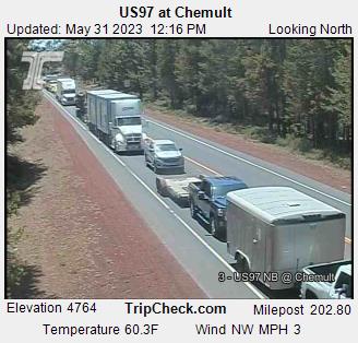
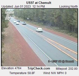
Chemult, Oregon, USA - 154.5 km von Copic: US97 at Chemult - Ein Blick auf die aktuelle Verkehrssituation auf der US97.
Operator: Oregon Department of Transportation
Operator: Oregon Department of Transportation


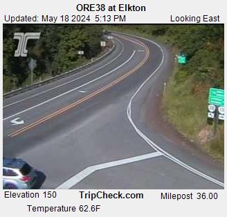
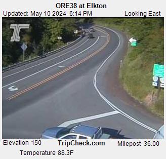
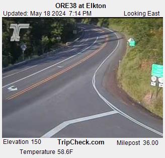
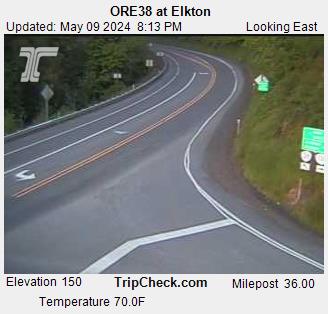
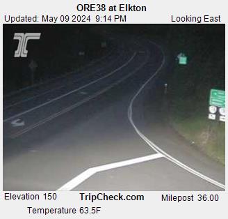
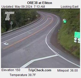
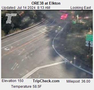
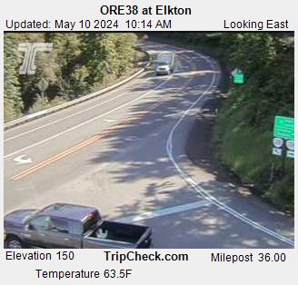
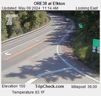
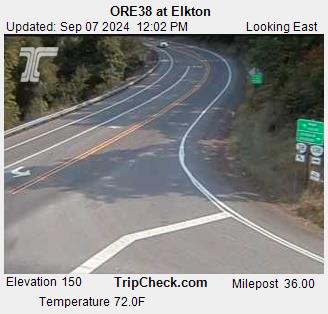
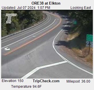
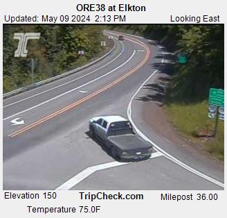
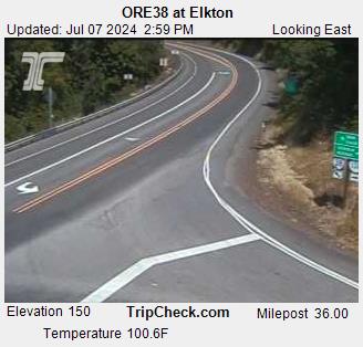
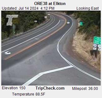
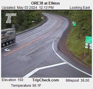
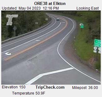
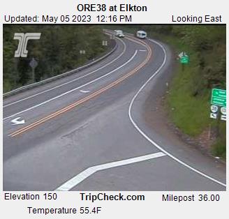
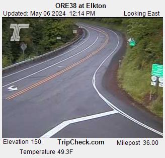
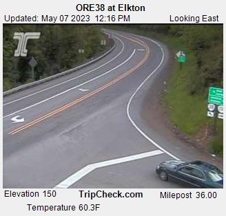
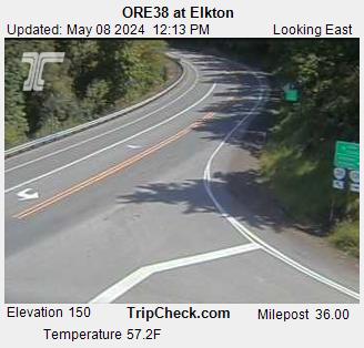
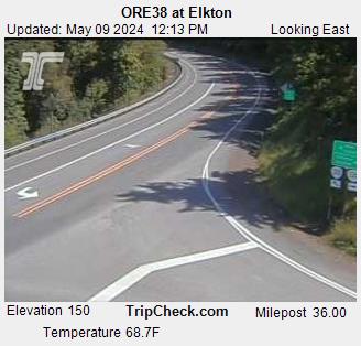
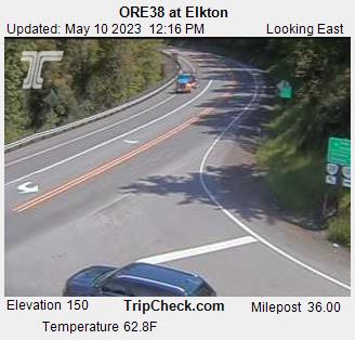
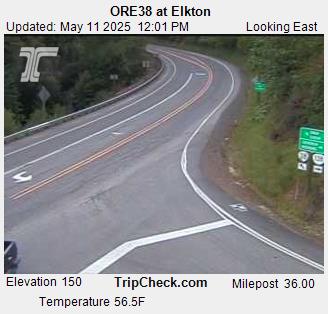
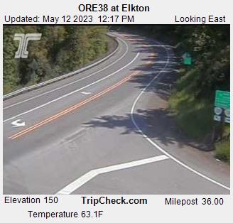
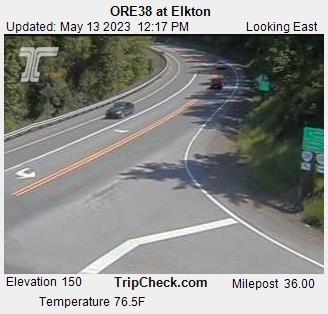
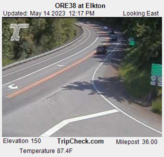
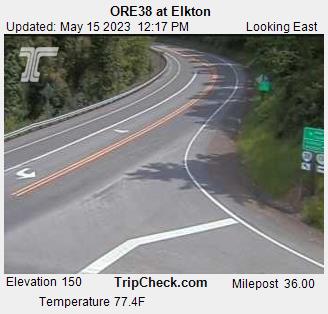
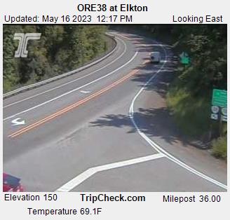
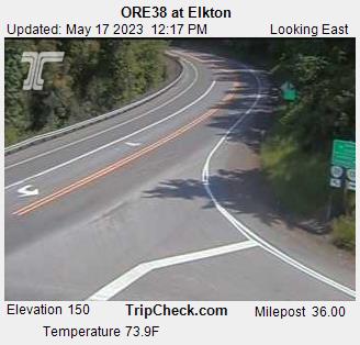
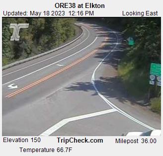
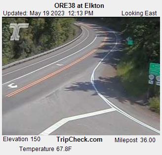
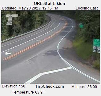
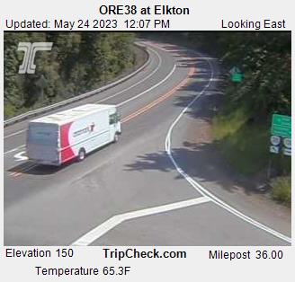
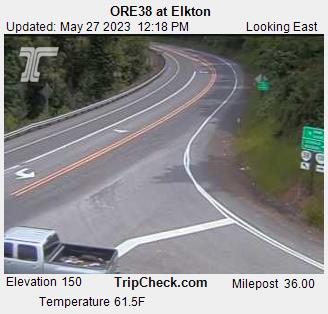
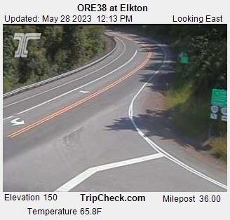
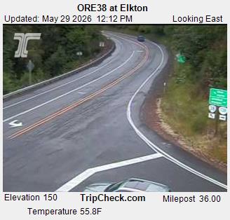
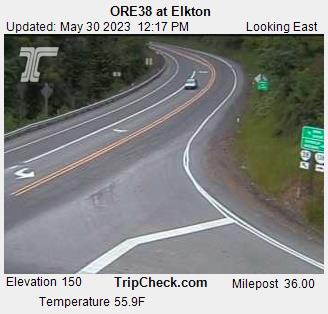
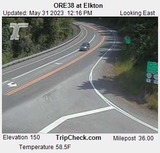
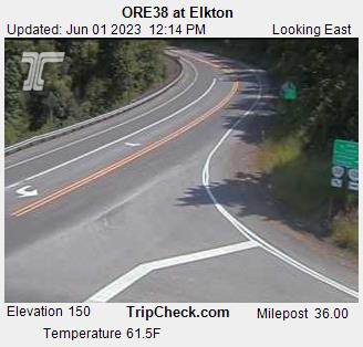
Elkton, Oregon, USA - 268.1 km von Copic: ORE38 at Elkton - Ein Blick auf die aktuelle Verkehrssituation auf der ORE38.
Operator: Oregon Department of Transportation
Operator: Oregon Department of Transportation


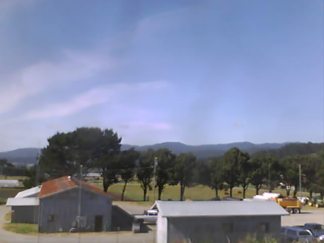
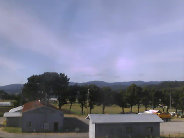
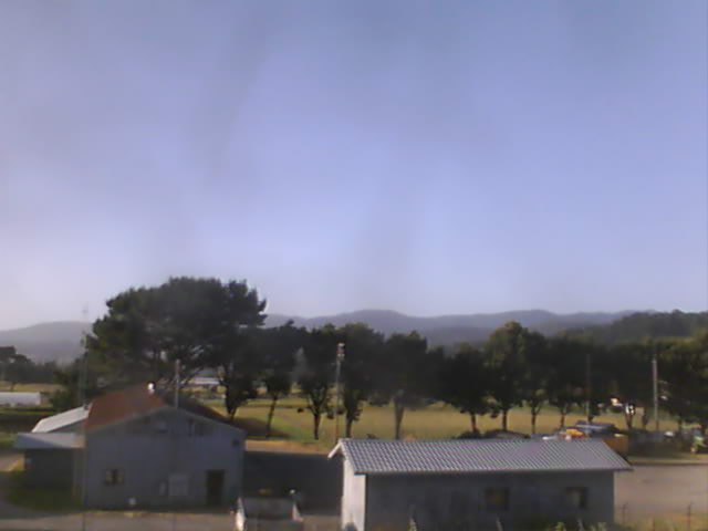
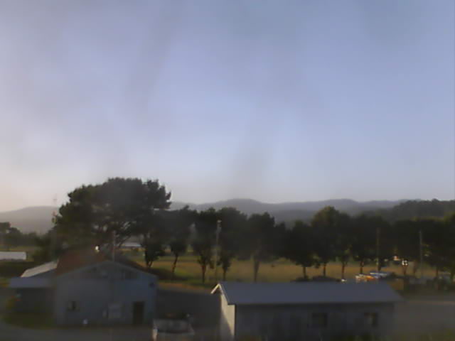
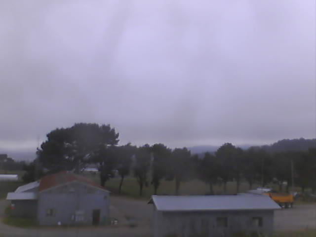
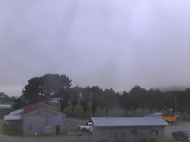
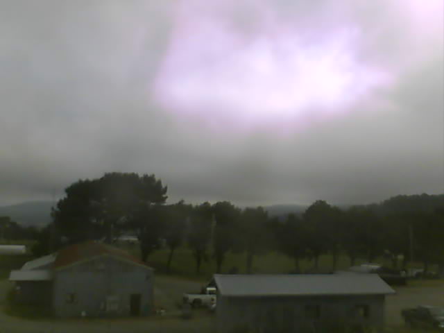
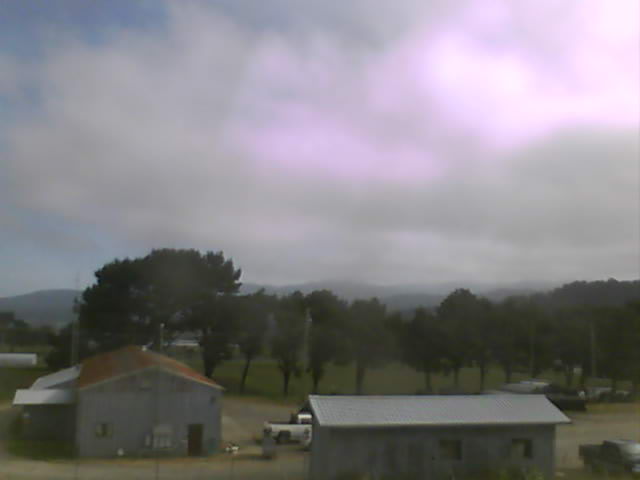
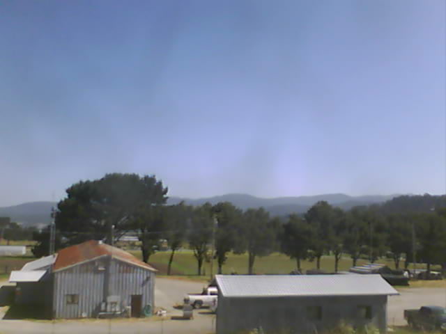
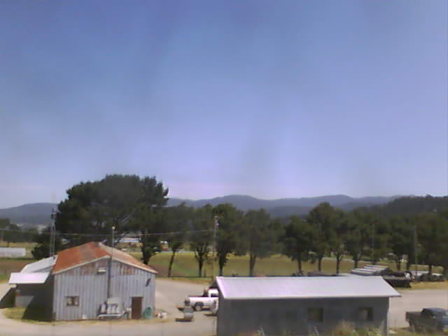
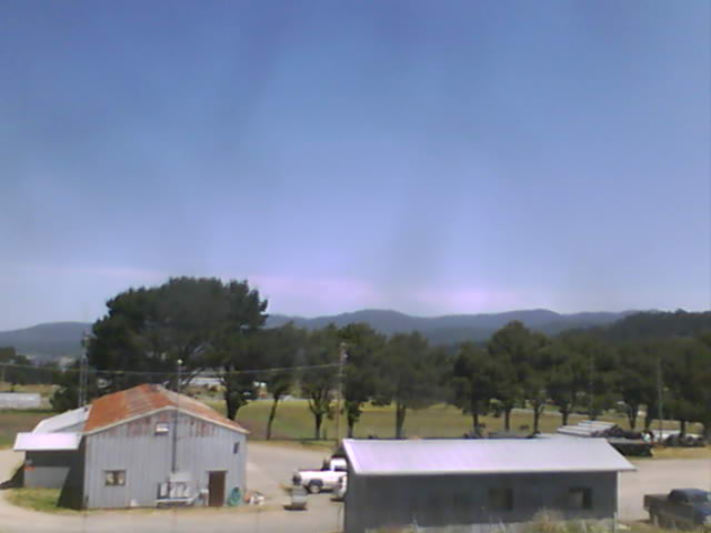
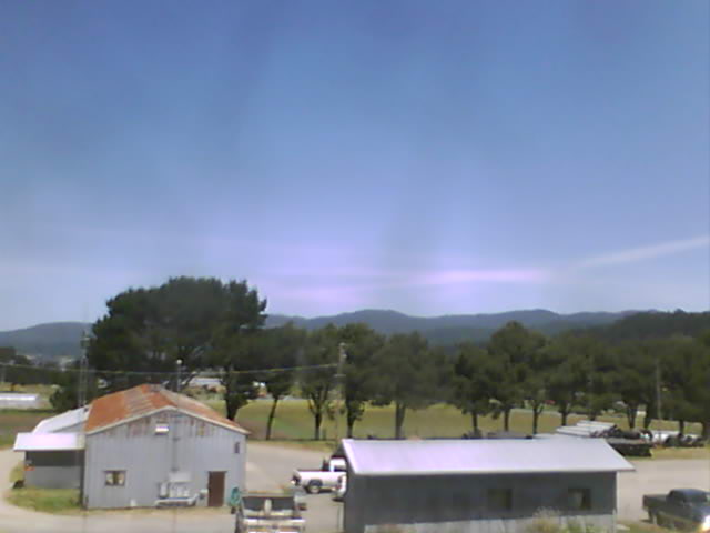
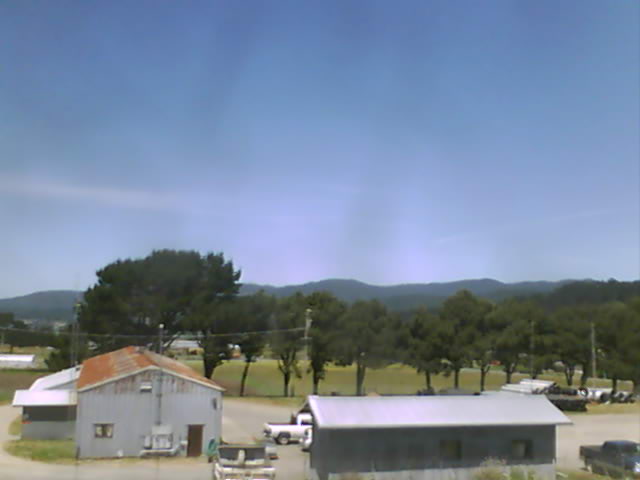
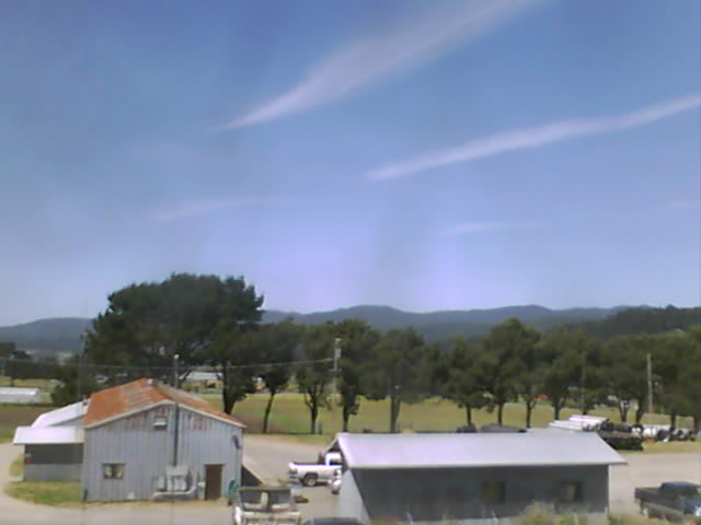
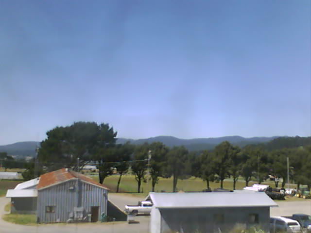
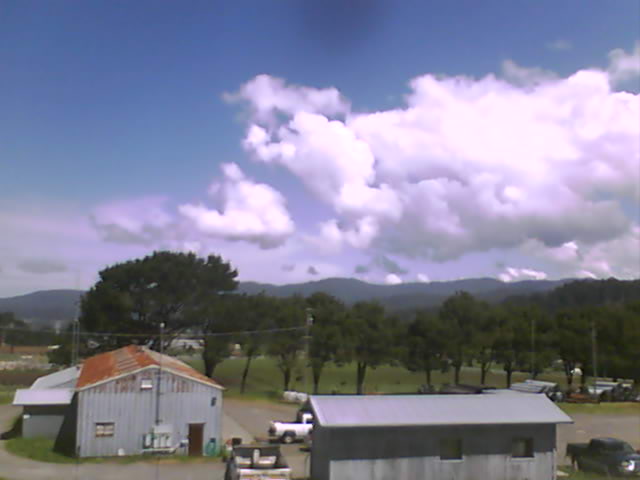
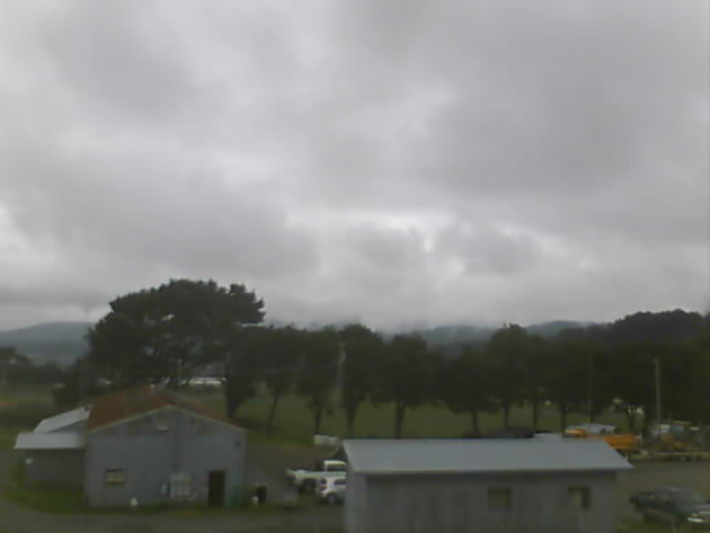
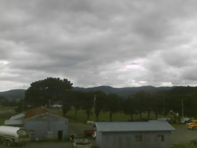
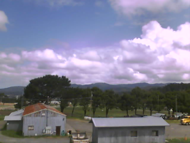
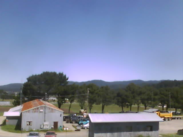
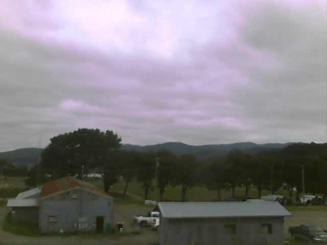
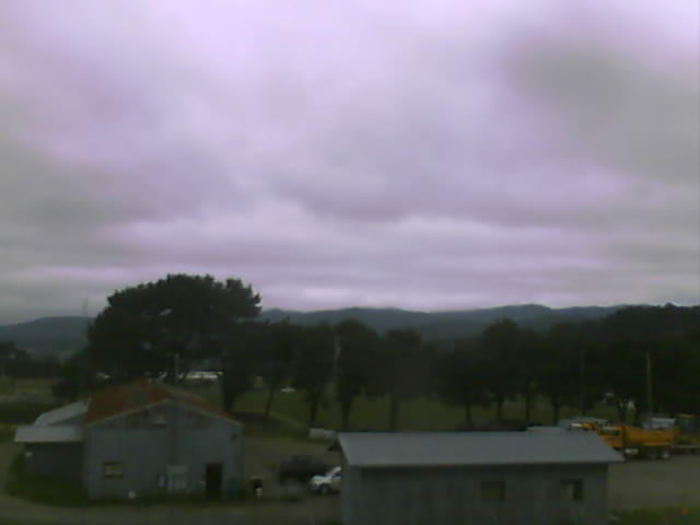
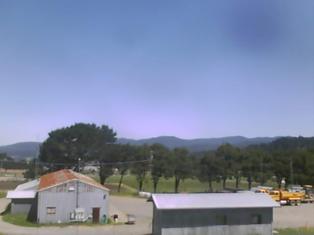
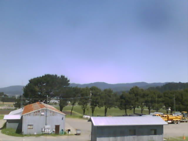
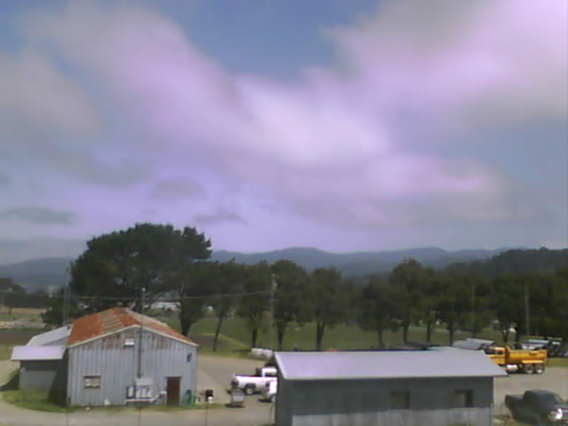
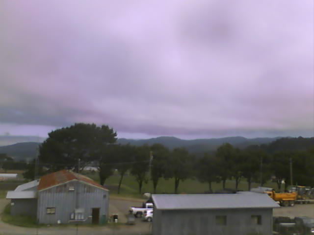
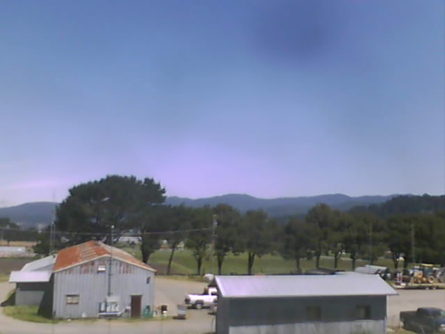
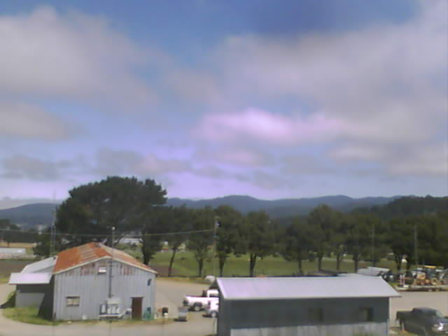
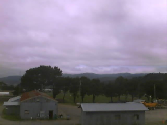
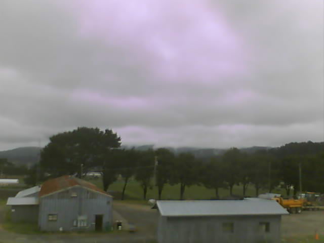
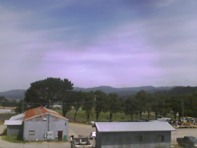
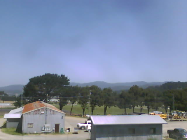
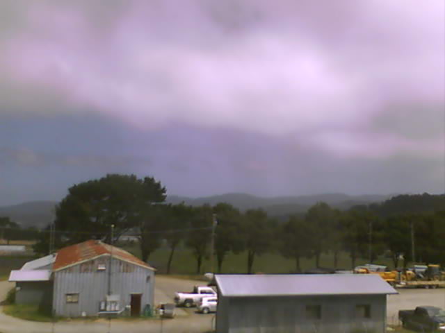
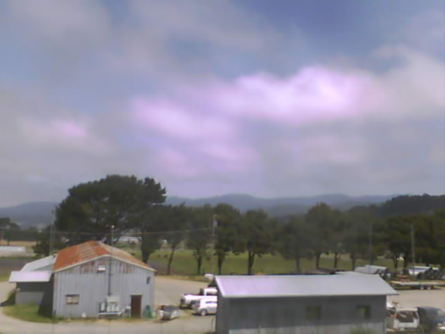
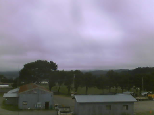
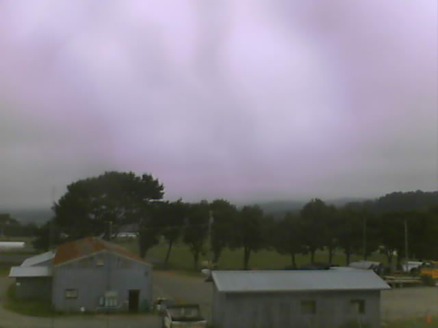
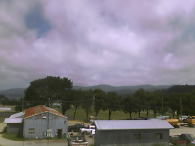
Fortuna, California, USA - 274.3 km von Copic: Rohnerville Airport - Verschiedene Ansichten vom Rohnerville Airport, Fortuna, CA.
Operator: North Coast Aviation
Operator: North Coast Aviation